Deadman Canyon Via Tablelands
2025-09-12

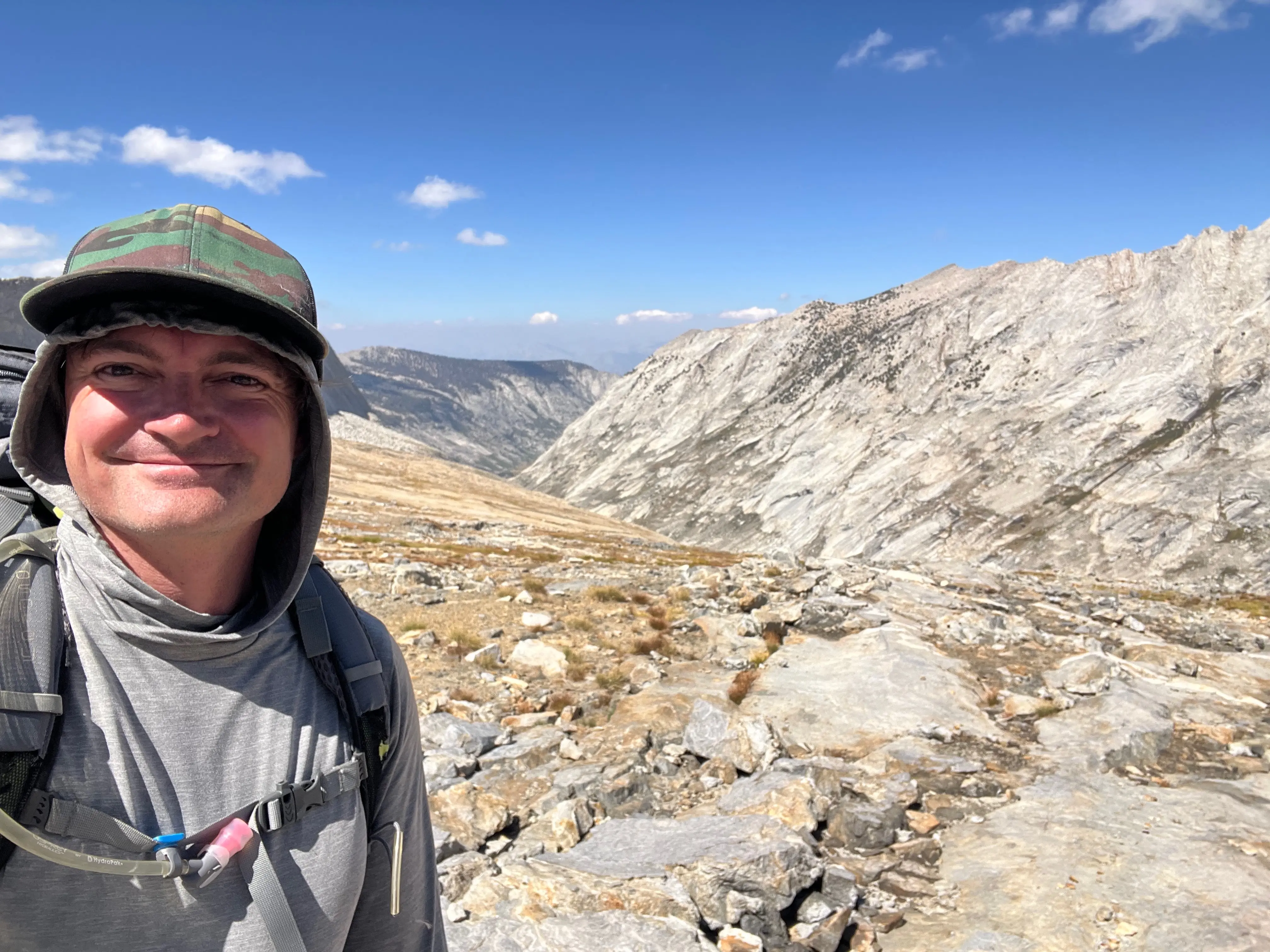
Day 0
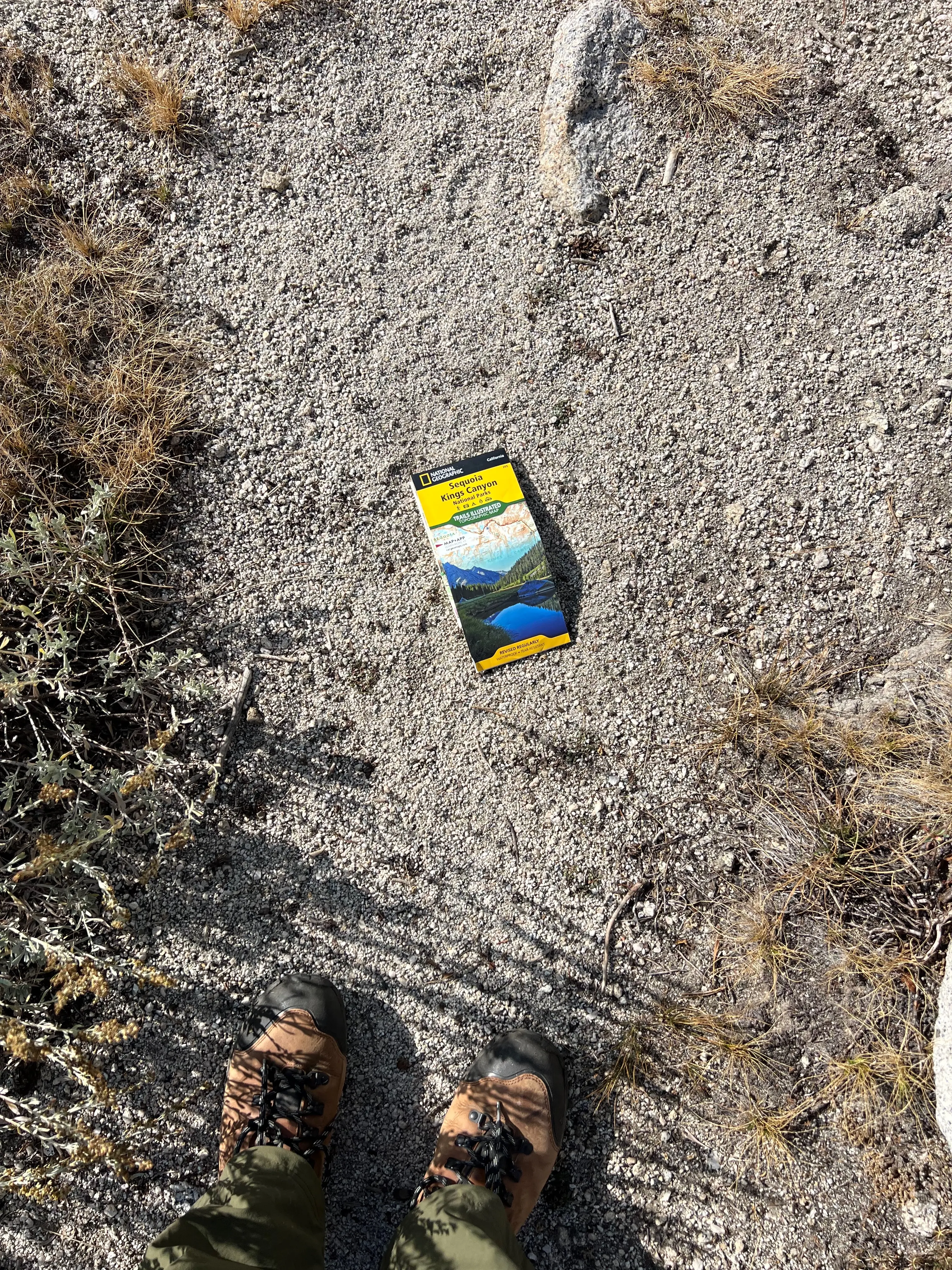
I didn't have a recreation.gov reservation so I was a little worried I wouldn't get a wilderness permit for my trip. I was restless the night before my trip and woke up early. I meant to leave at 6am so I'd get to Lodgepole Visitor Center by 11am, but I ended up leaving at 4:45am. When I arrived I got a walk-up permit no problem. I asked the ranger how many spots were remaining, he said there were still 20 of 25 spots available! It turns out that reservations are only available more than a week out. I was totally fine!
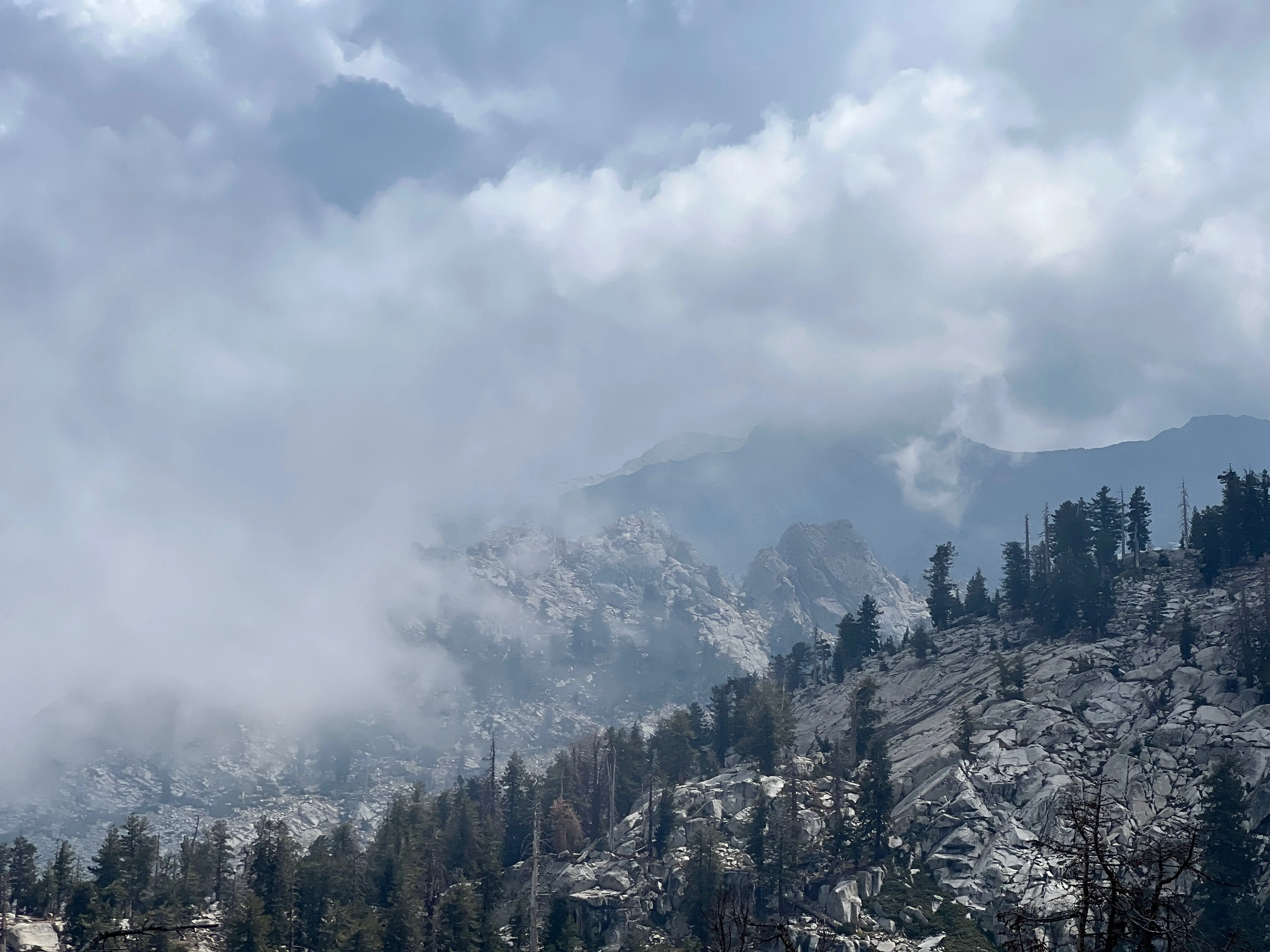
When I started hiking the Garnet fire smoke was definitely apparent, but wasn't a stop gap. Maybe due to the smoke there was a lot of nucleation for the humidity to build on. Rain started around 17:00 which may have helped clear the air and create a beautifully clear weekend!
The problem with starting any trip on the West side of the Sierra is the elevation. Wolverton is at 7,200ft and I was trying to walk up to 11,200ft. By the time I got to Pear Lake I realized I wasn't making it to my initial destination of Phil Arnot Pond.
A little background, Phil Arnot was a WWII Army Air Force Pilot. After being discharged he found his love in the High Sierra. Even writing a book "High Sierra: John Muir's Range of Light" (1996) about his adventures in the range. In 2007 my dad and I attempted to visit one of his chapter spots deep in the Sierra. We tried to climb Glacier Ridge, one of the most remote ranges in all of the Sierras. We got lost and ended up descending the way we came instead of traversing to Josephine Lake and out Cloud Canyon. On this trip I wanted to return to Glacier Ridge and return out of Coppermine Pass.
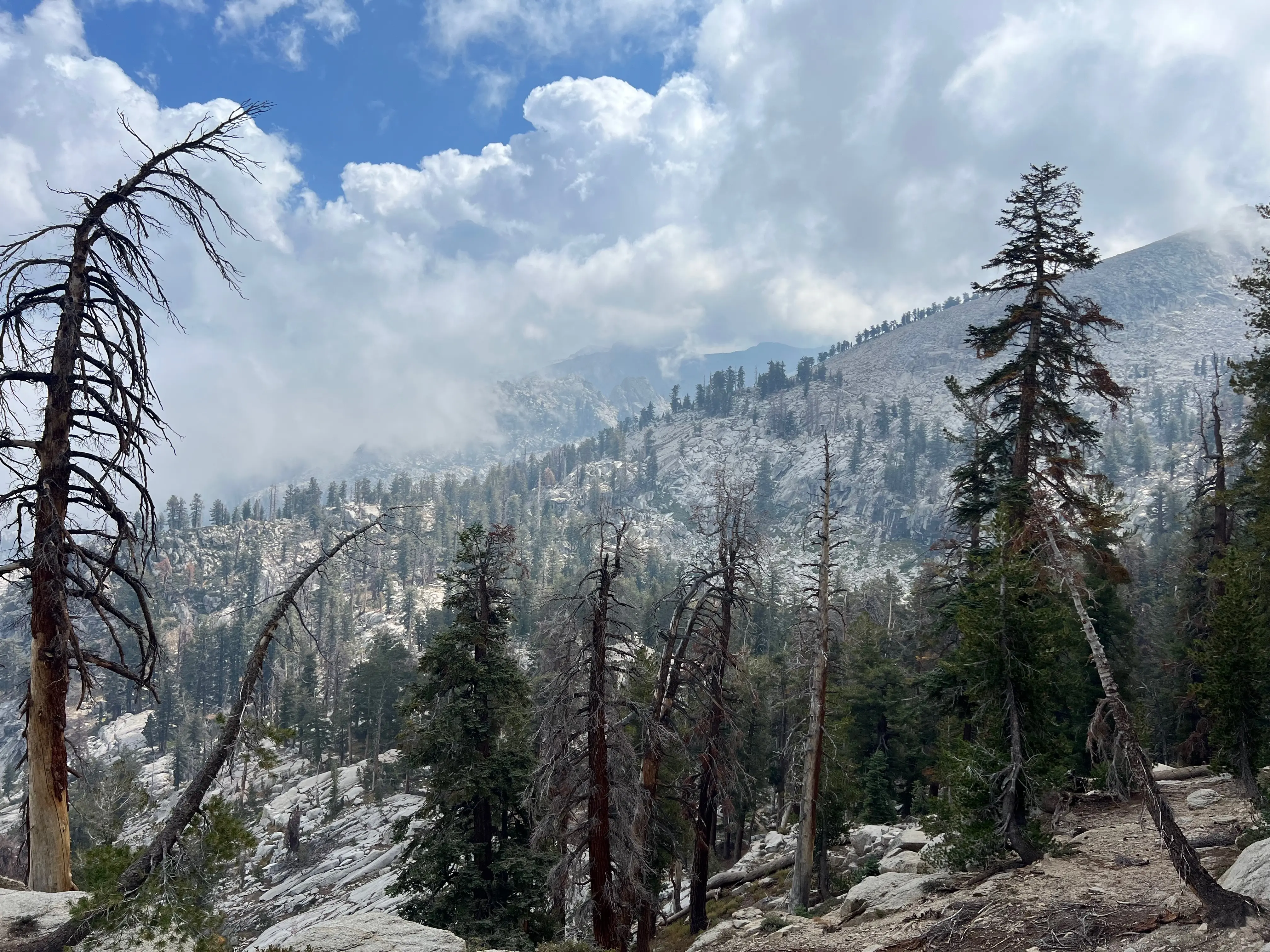
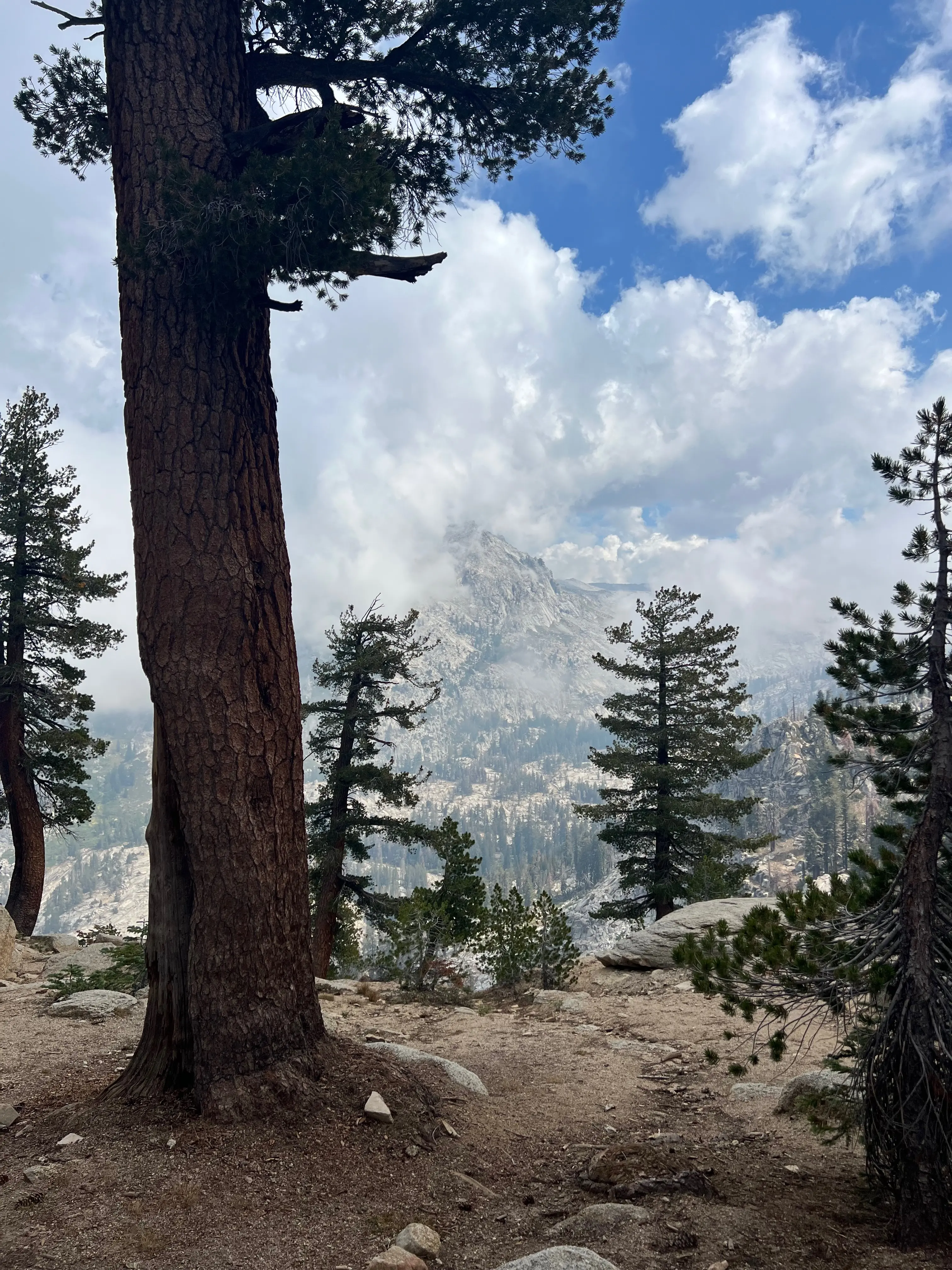
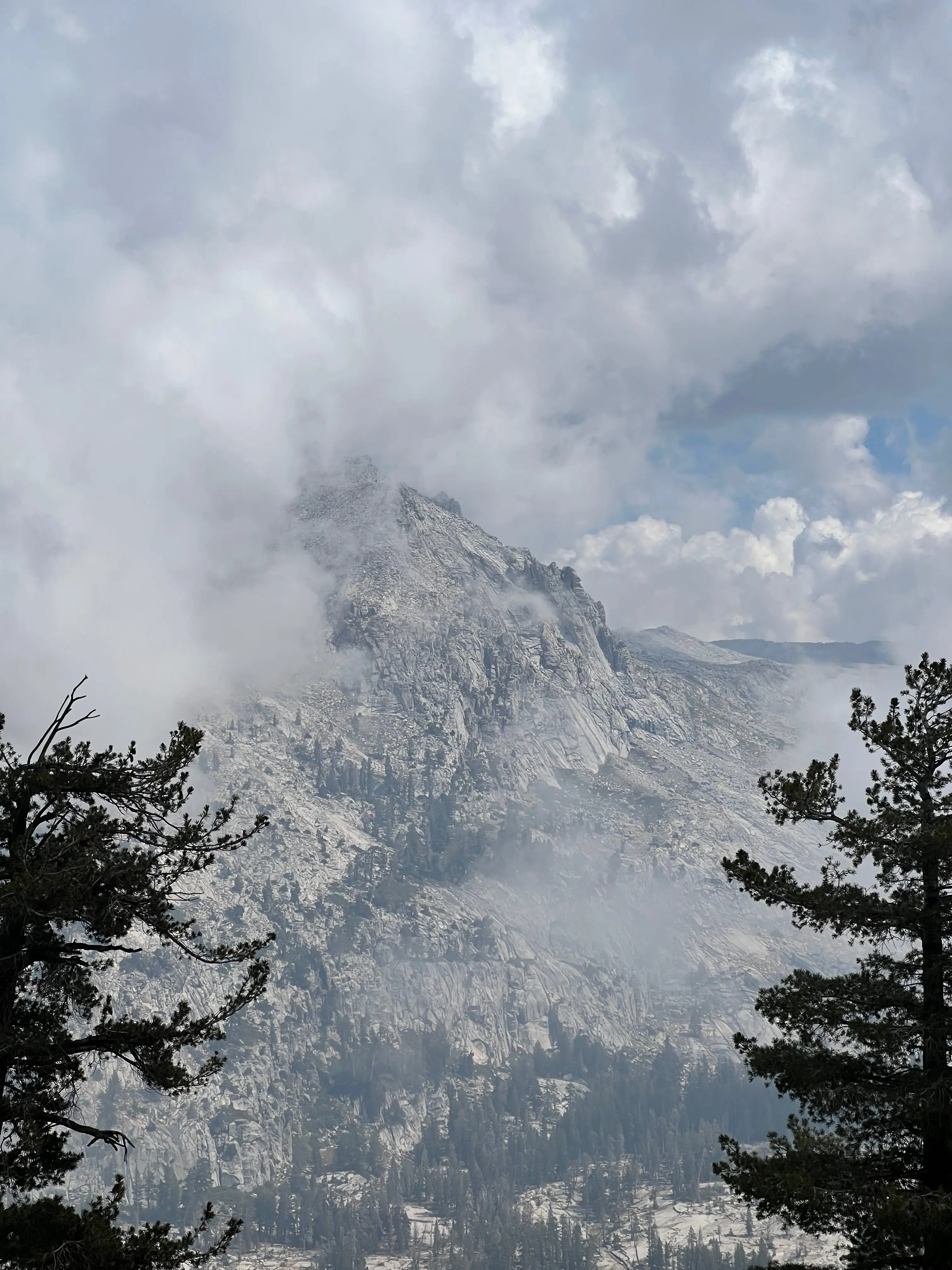
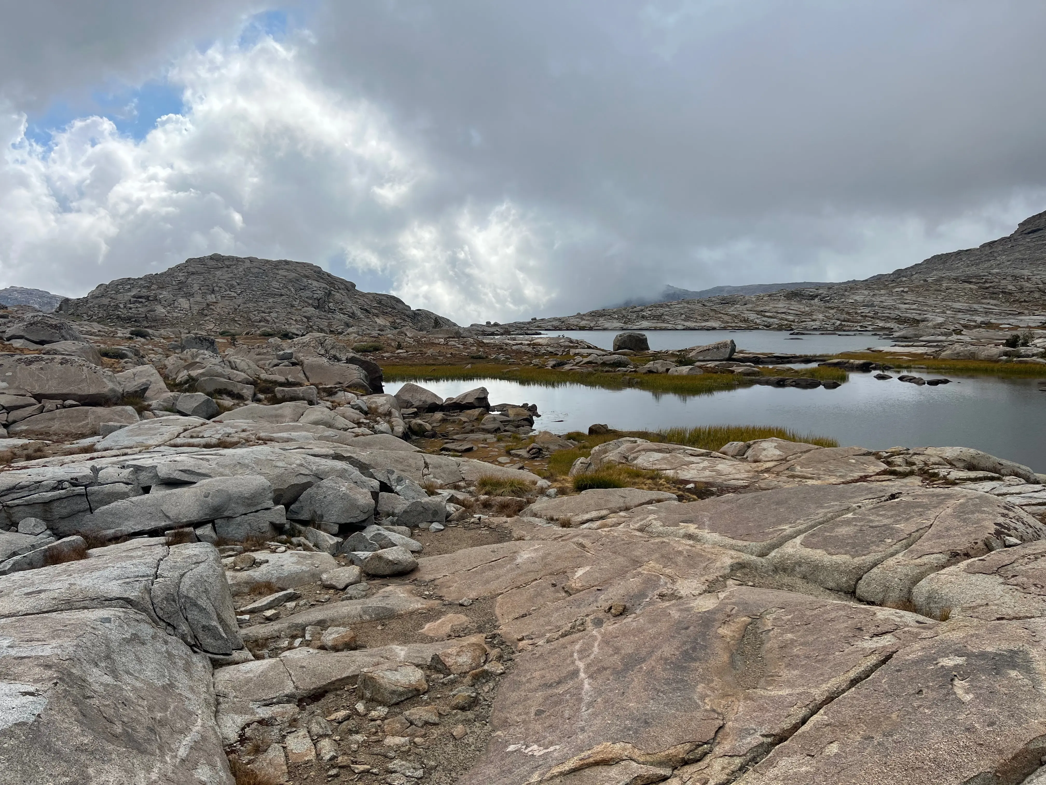
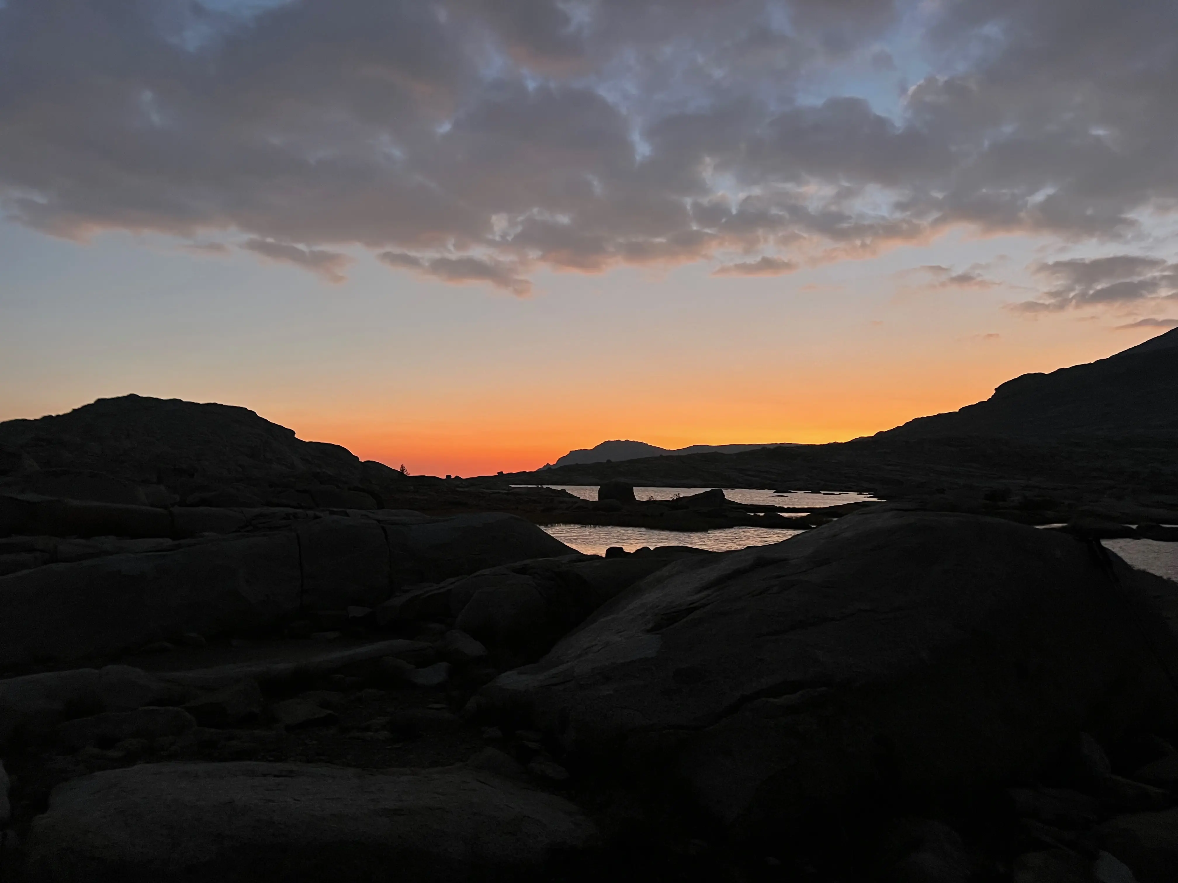
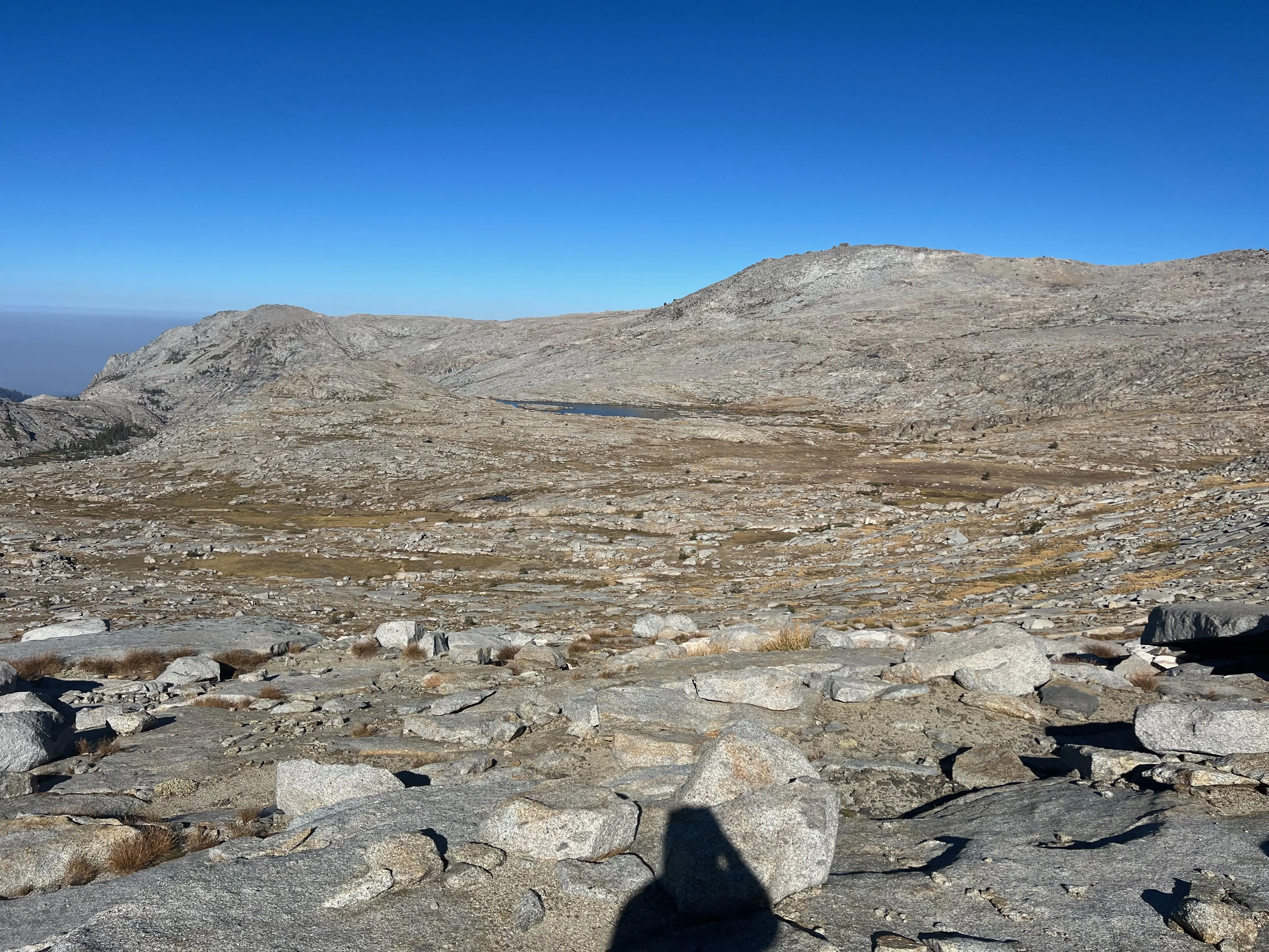
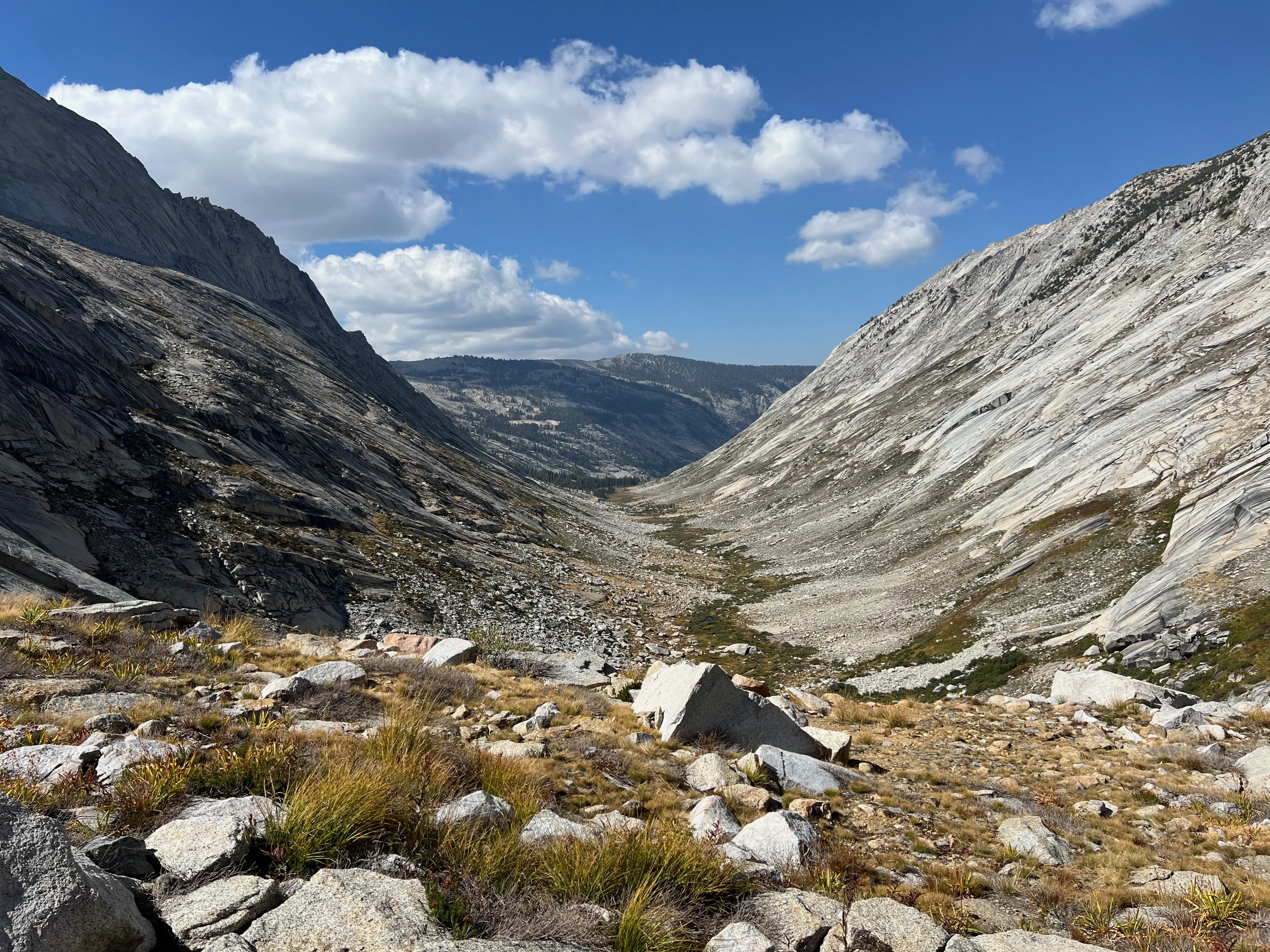
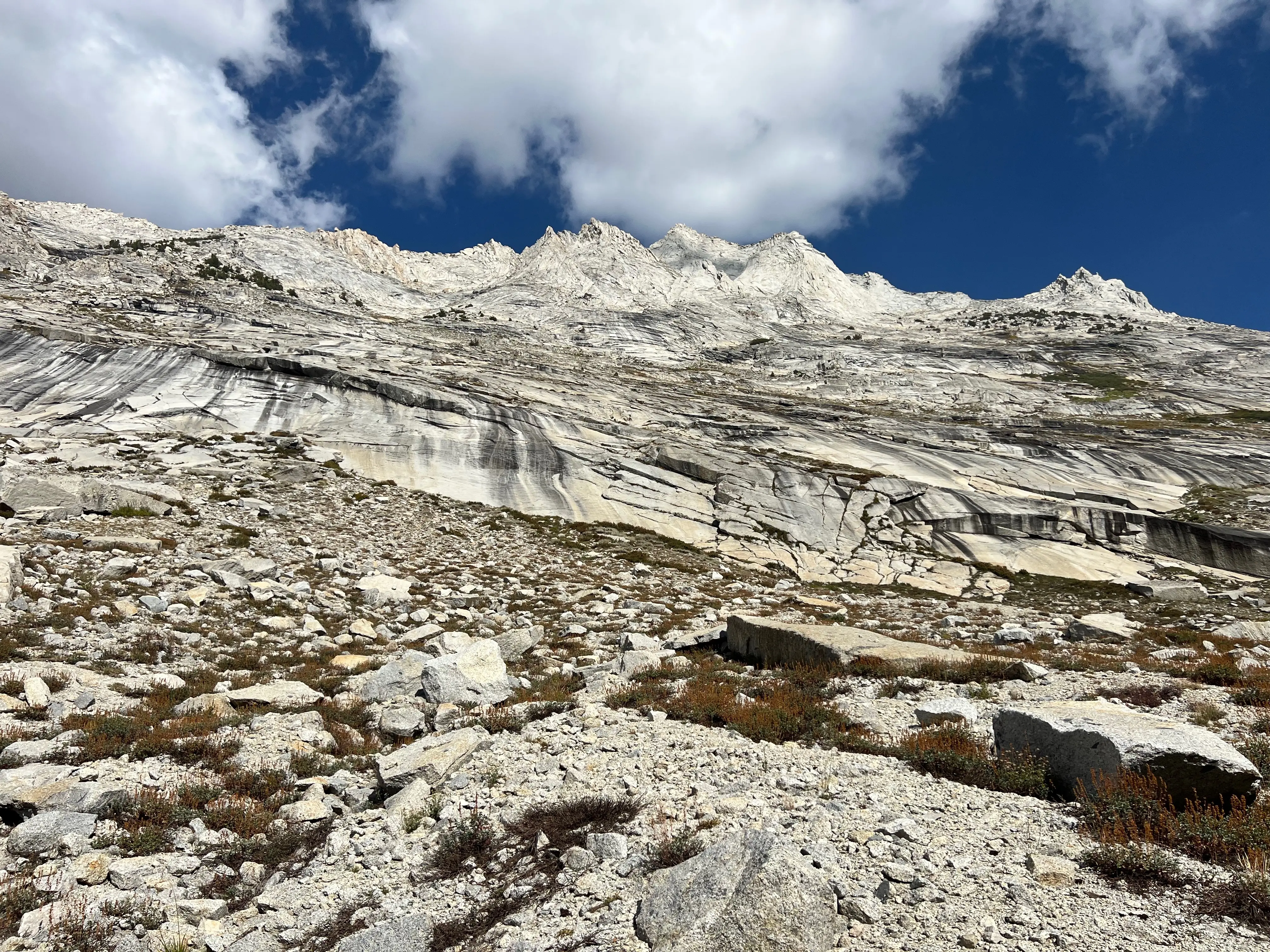
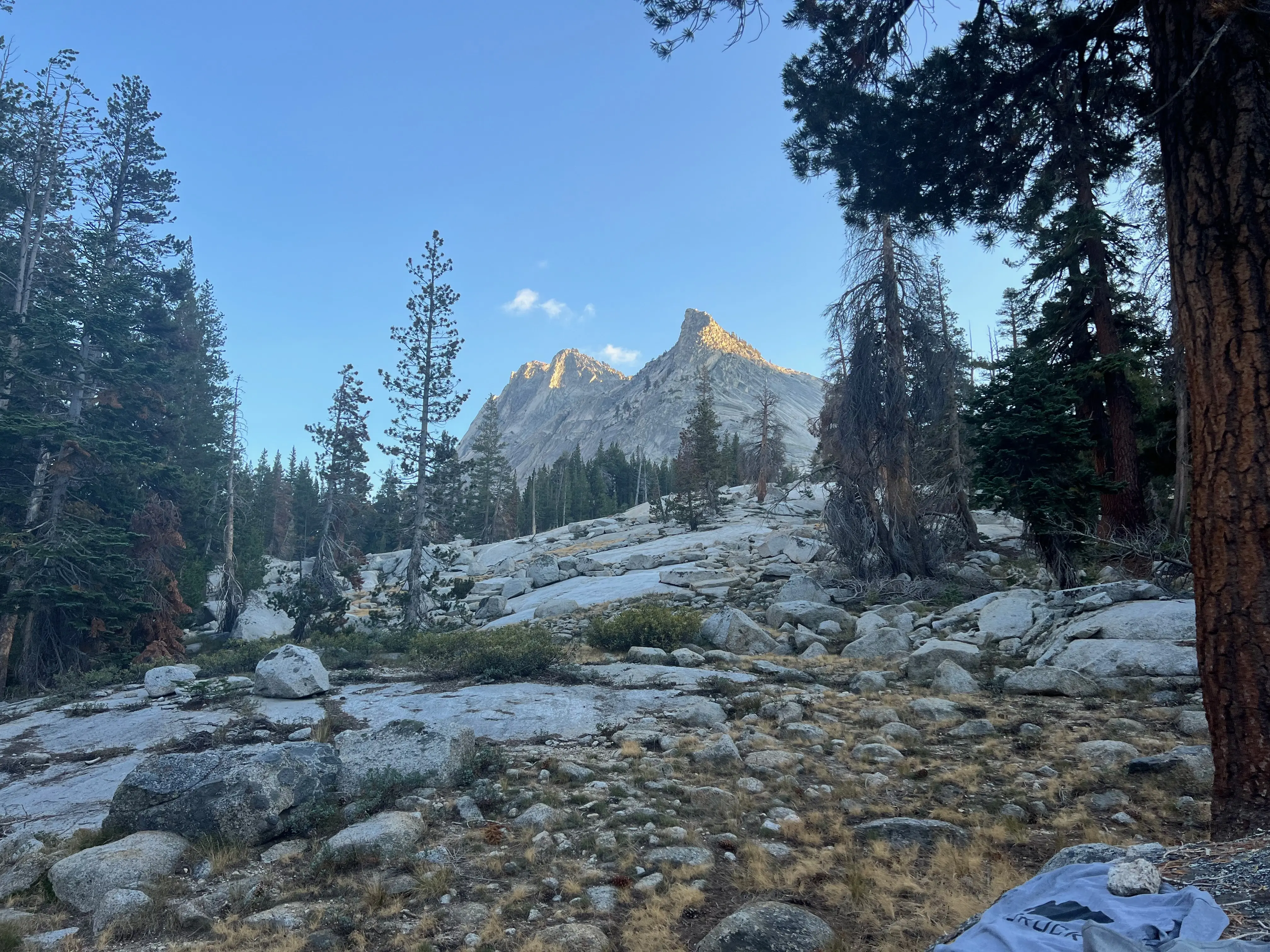
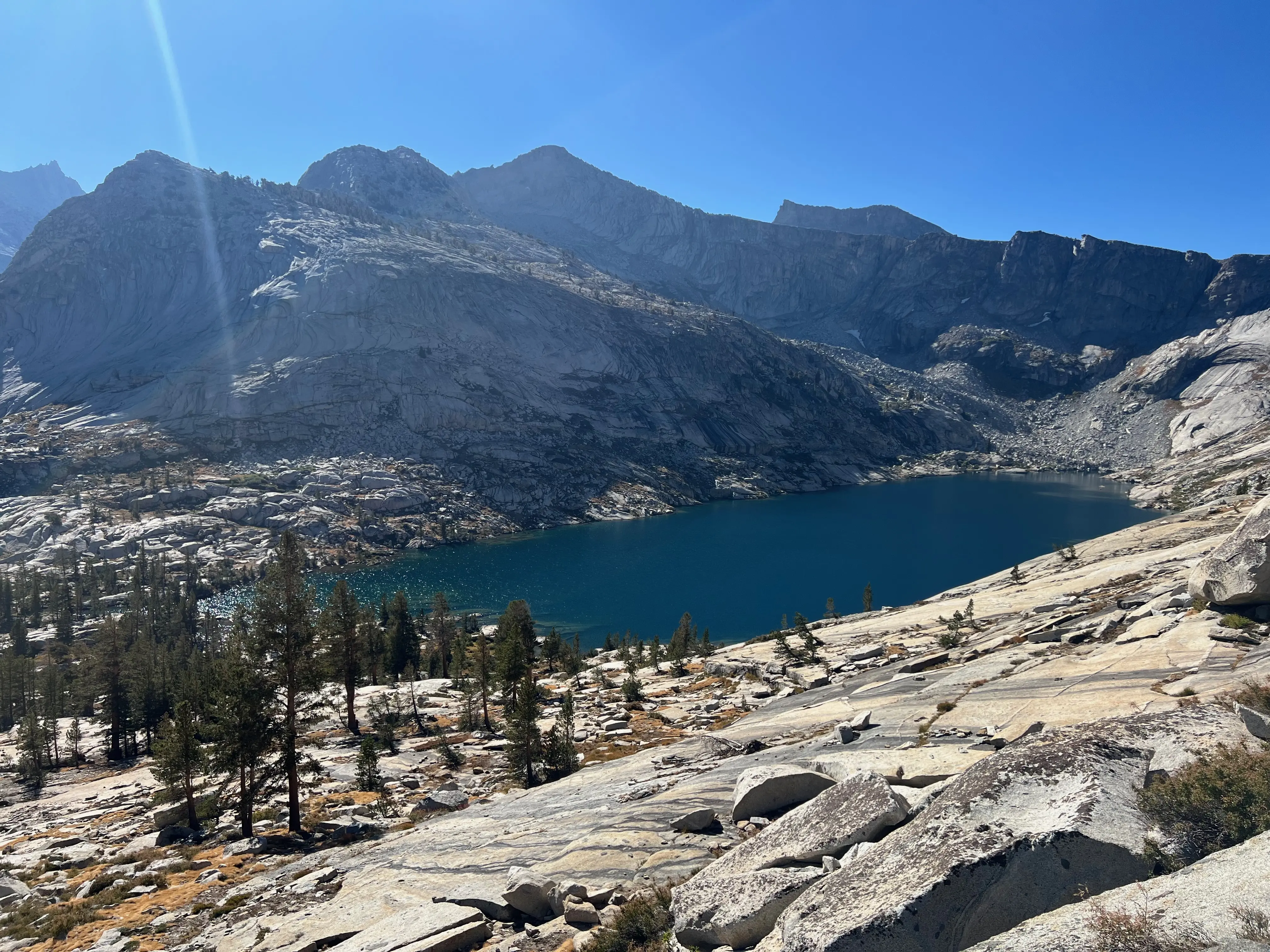
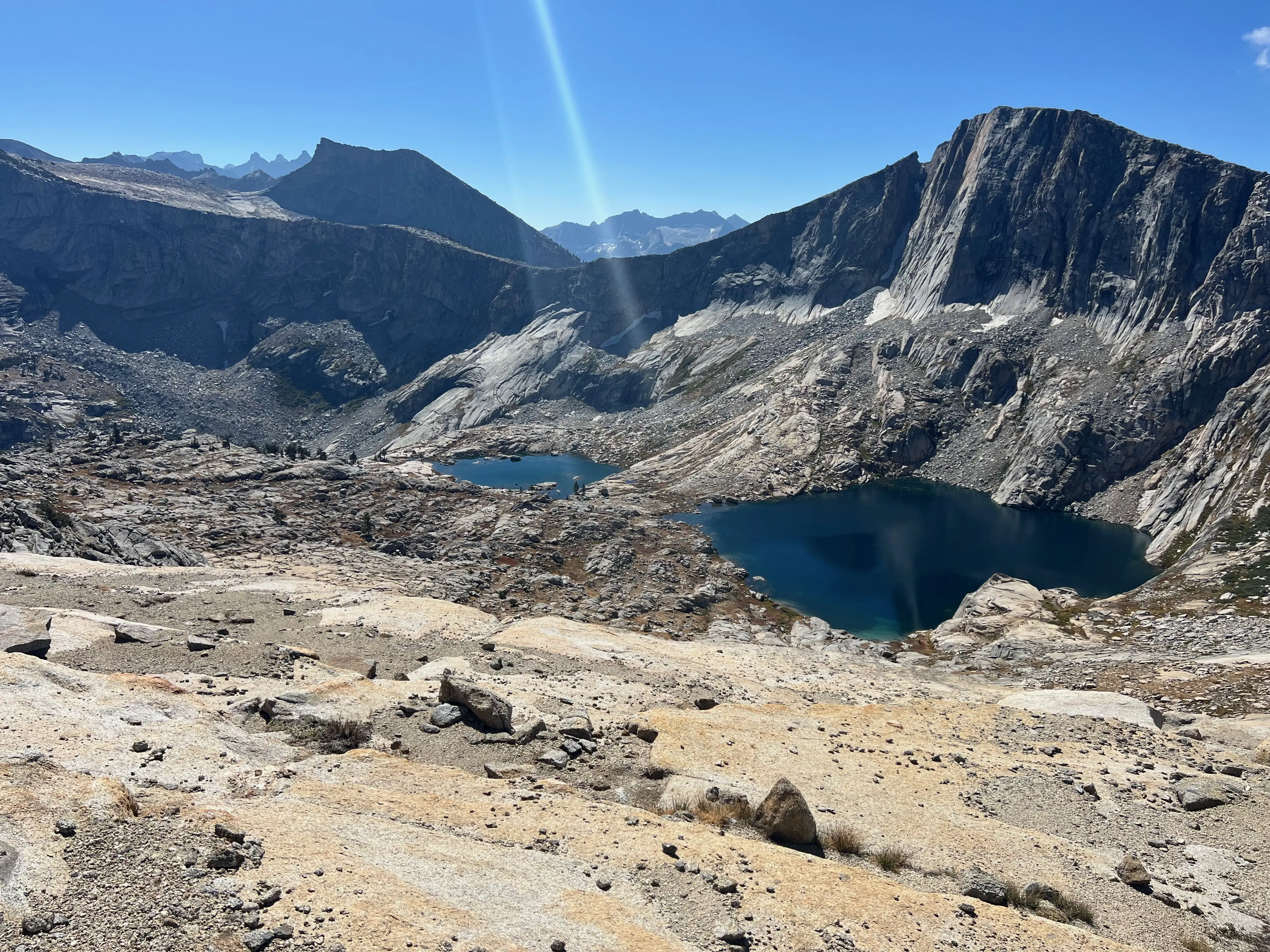
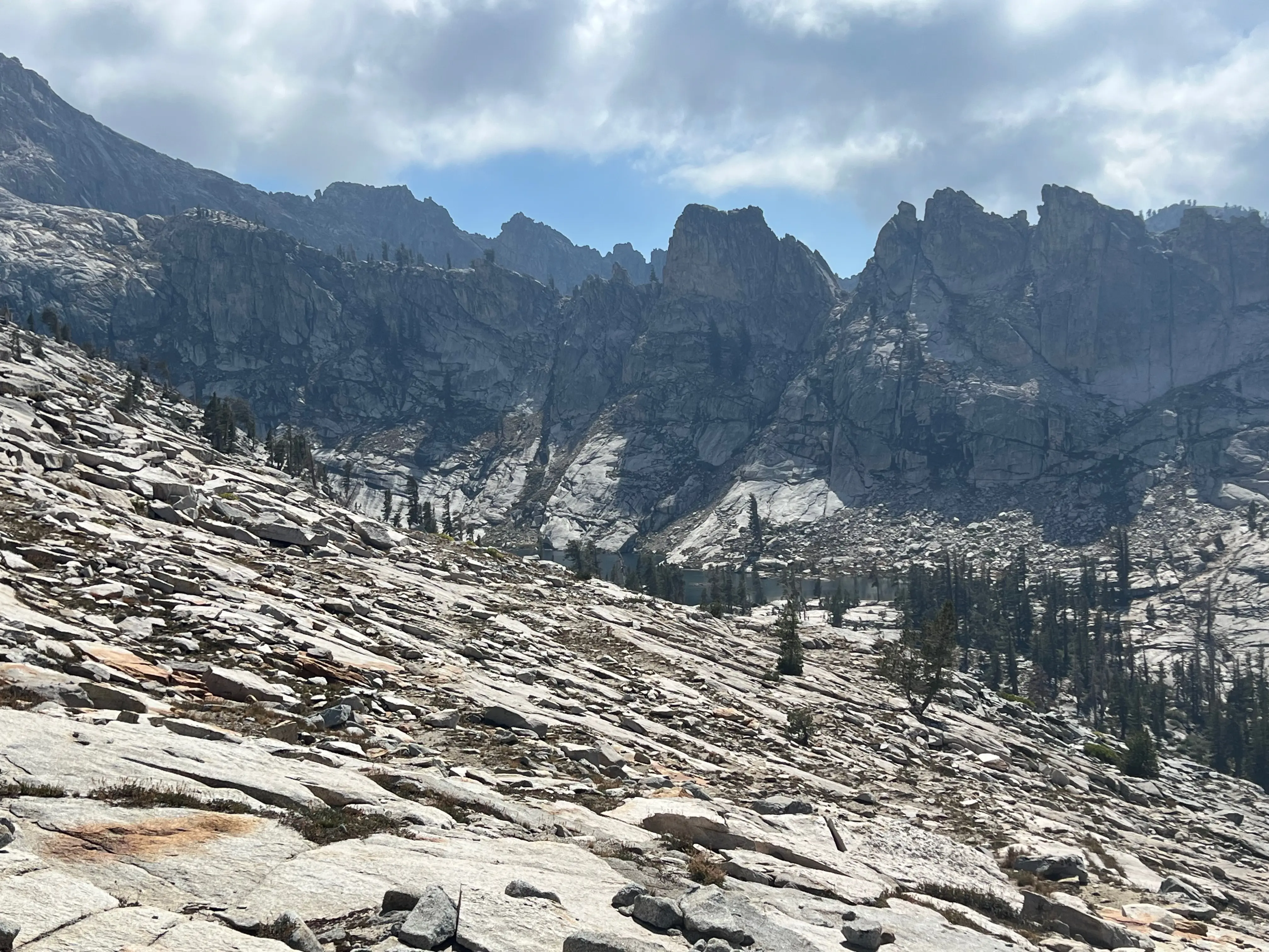
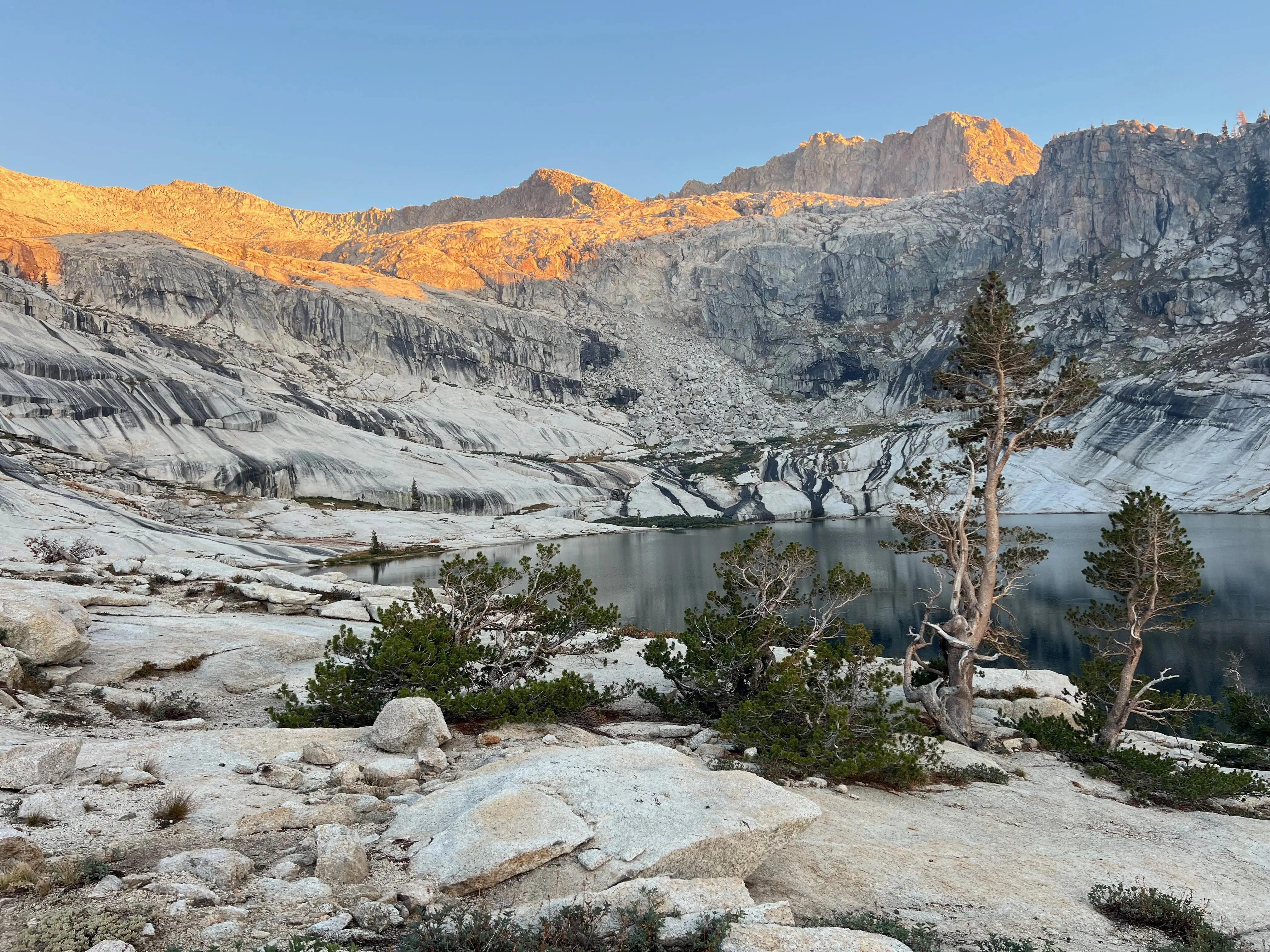
I loved hiking in the clouds up to Peak Lake
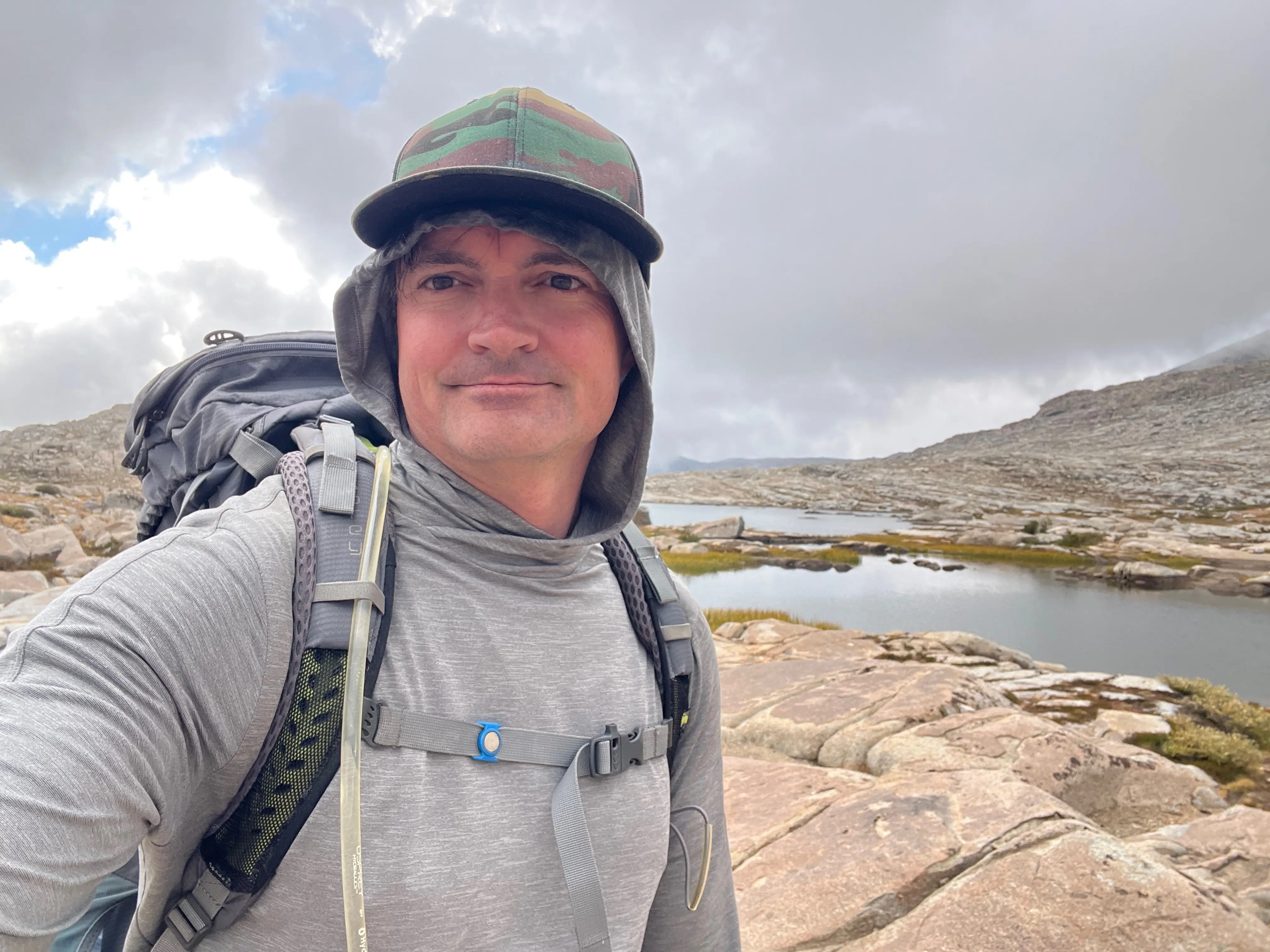
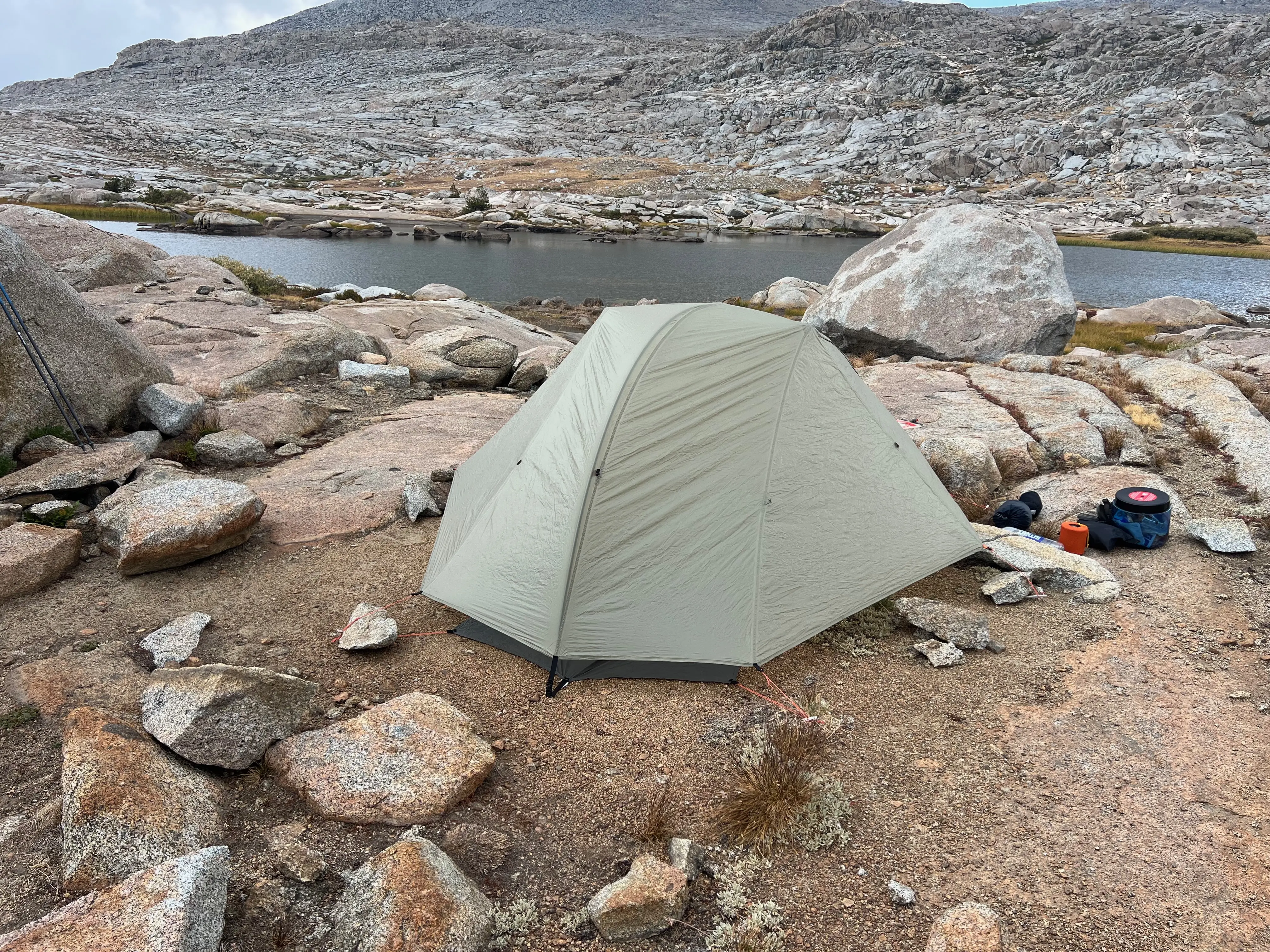
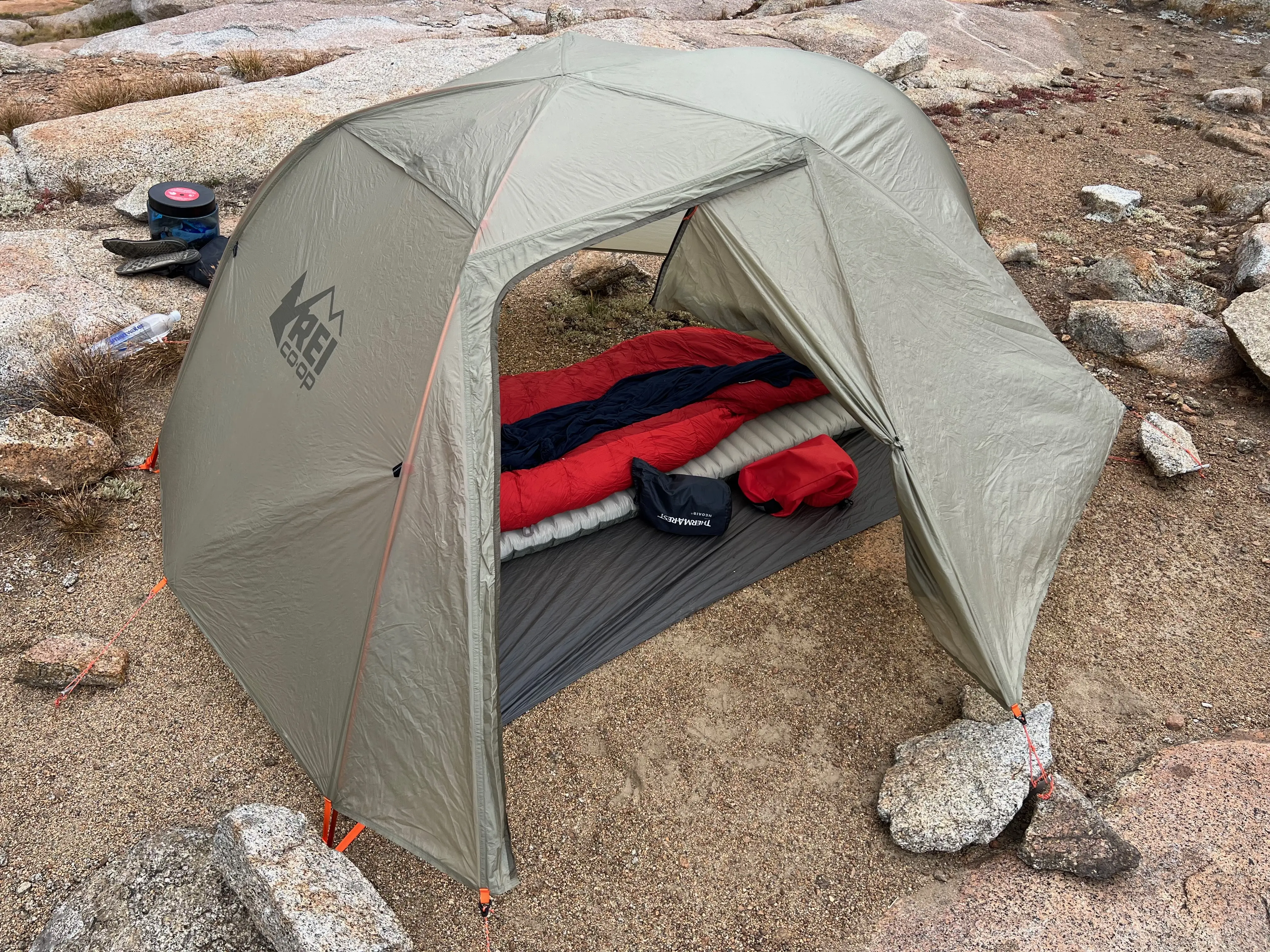
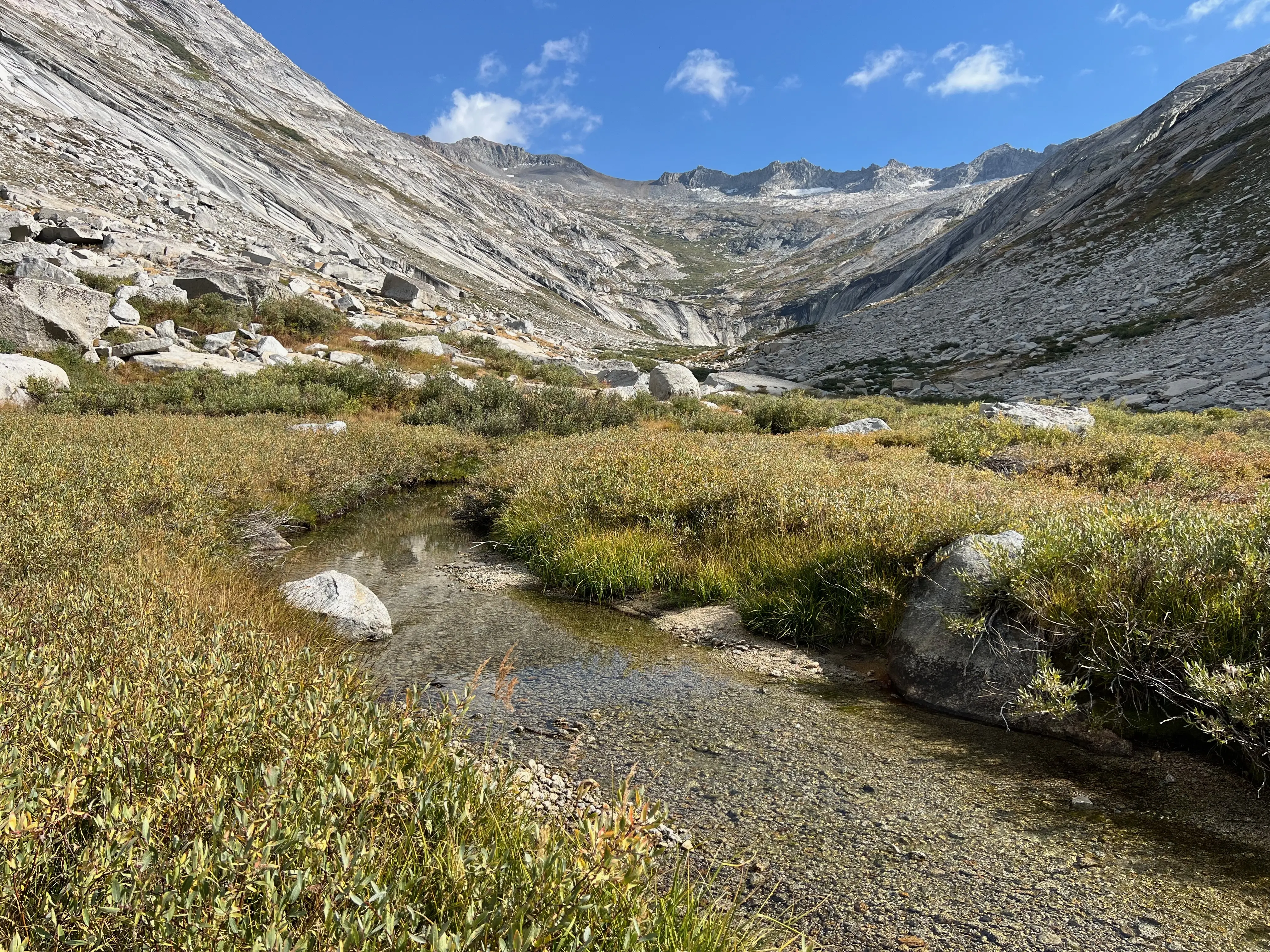
Since I hiked up to Tablelands with my good buddy Kyle last year I knew how the cross country section from Pear Lake to the precipice of Tablelands went. The trick is to stay high and aim for about ~100ft above the low saddle. I made quick work of the route. I wished I had the stamina to make it to Phil Arnot Pond. I did, however, make it to Topaz Lake where Kyle and I spent our penultimate night the year before. It rained while I was cooking dinner, but not for long and as I said it cleared the air beautifully. On this trip I only brought the rainfly of my tent to save weight and hopefully be able to sleep under the stars. Luckily it did the trick and there wasn't a single mosquito to worry about!
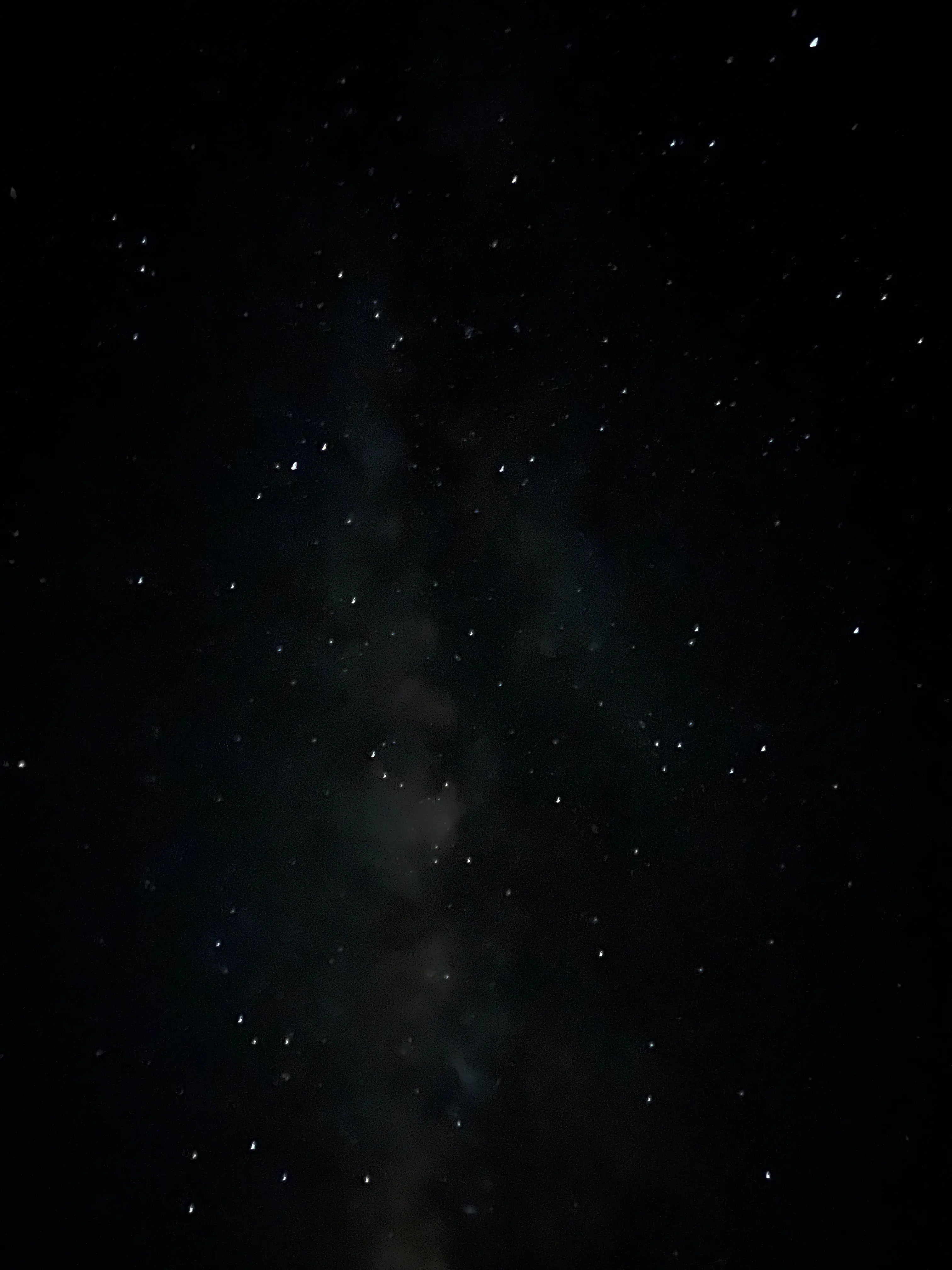
The rain cleared and I tried to capture the Milky Way!
Day 1
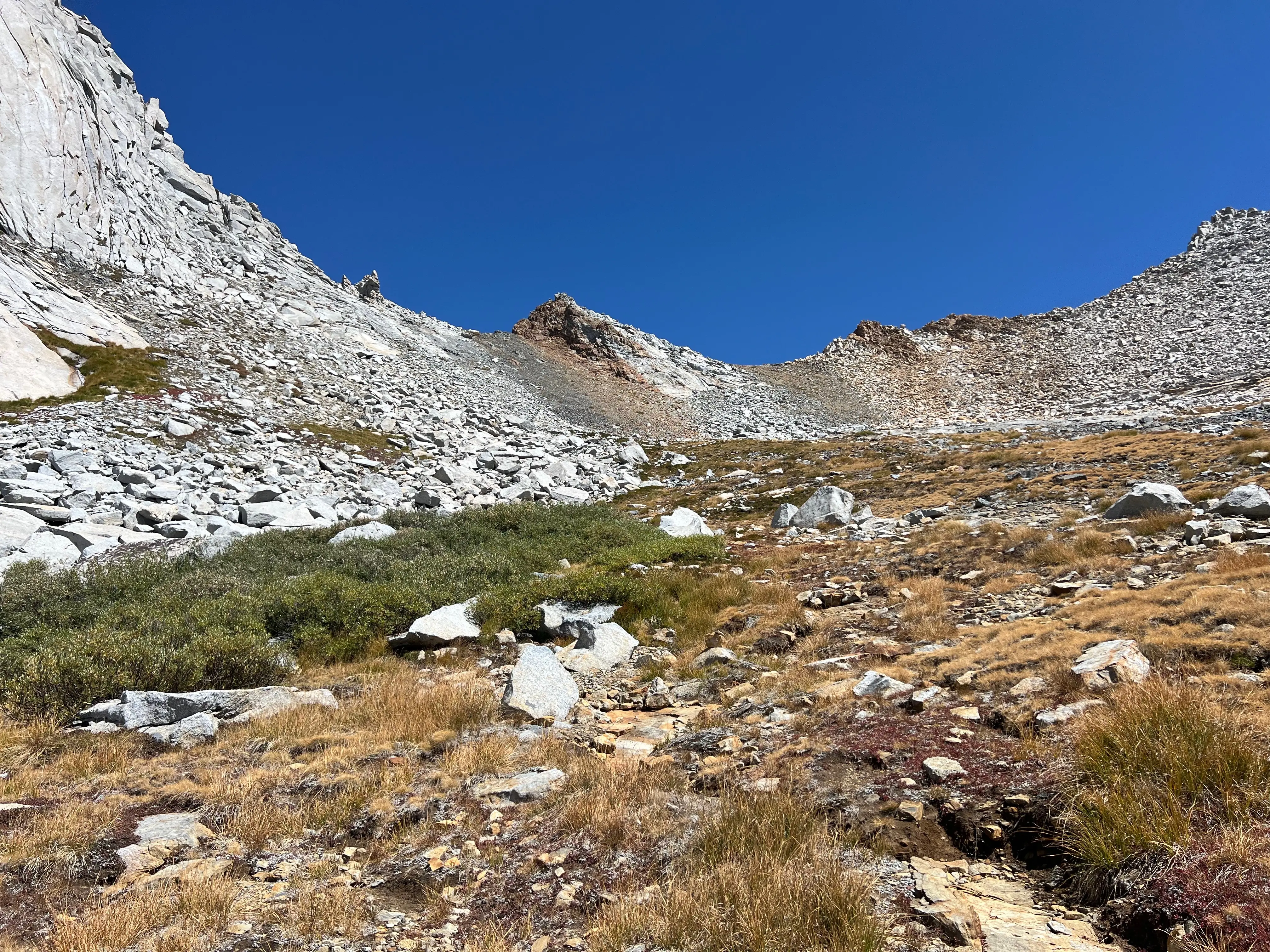
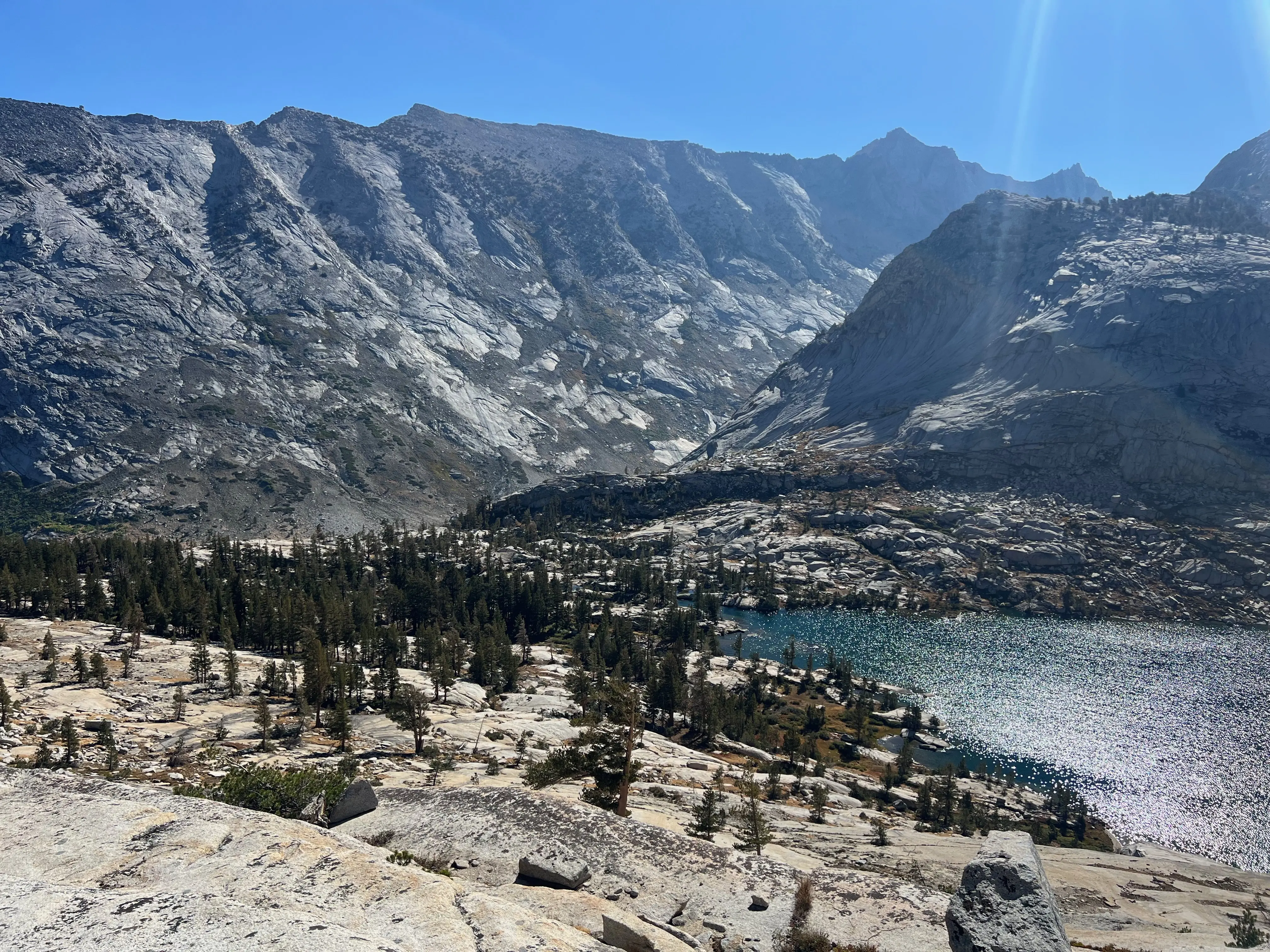
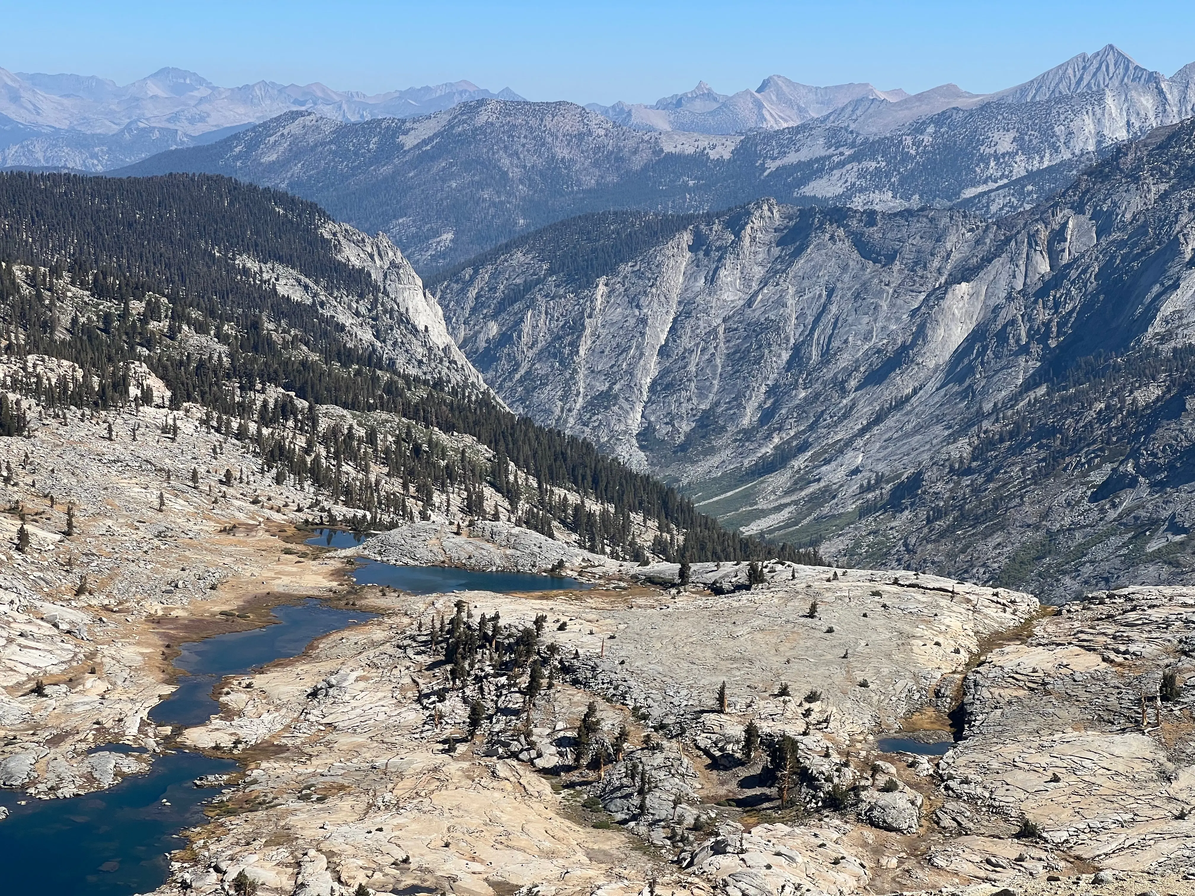
When I woke up I decided to alter my trip so I end at Phil Arnot pond, how cool would it be if I went over Pterodactyl Pass, Elizabeth Pass, then walked up Big Bird Lake and stayed at Phil Arnot pond? That was also impossible but I still wanted to try. Walking South East from Topaz Lake across the Tablelands is lovely. The elevation gain and loss is minimal and picking routes is fairly easy. Basically just follow the chain of lakes around the large prominence pointing SW from Tablelands Pass. Stay high and follow the contours to Pterodactyl Pass.
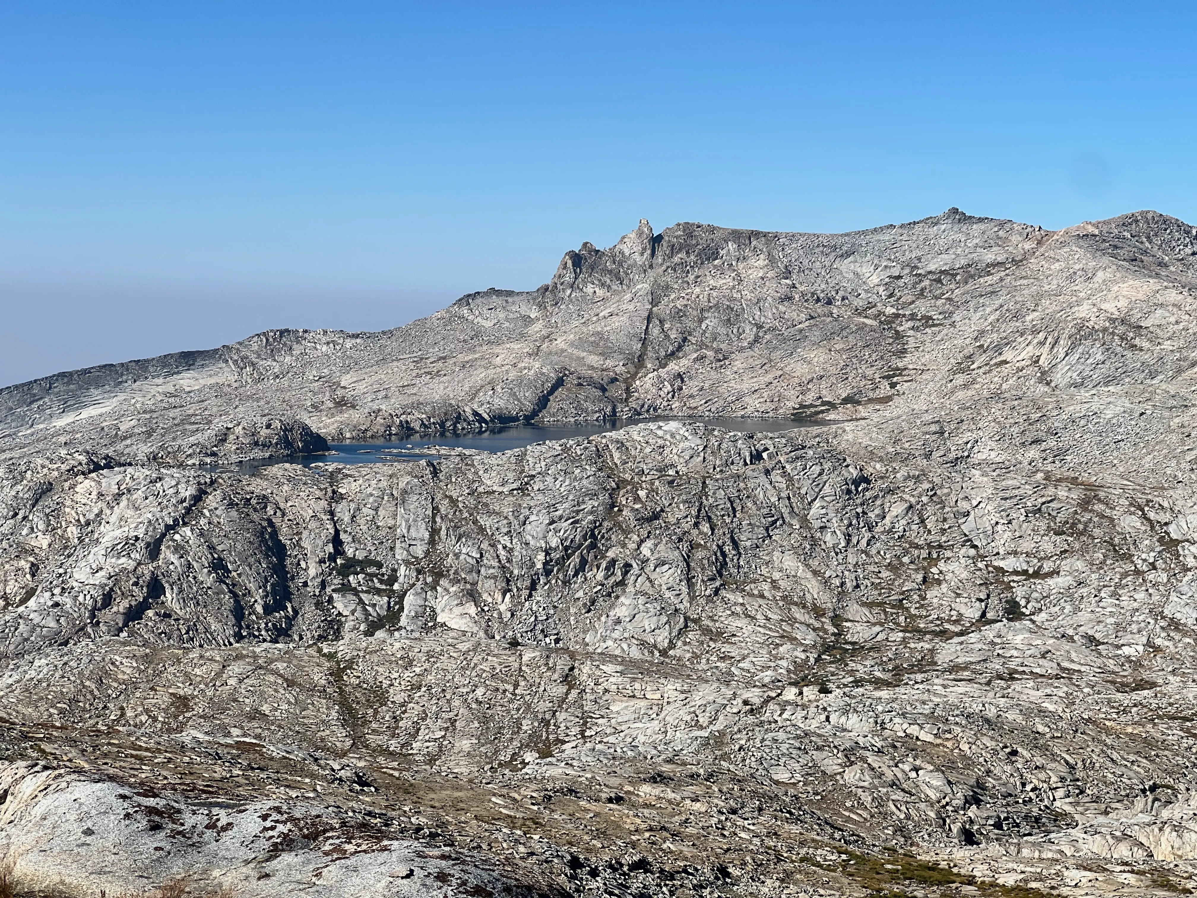
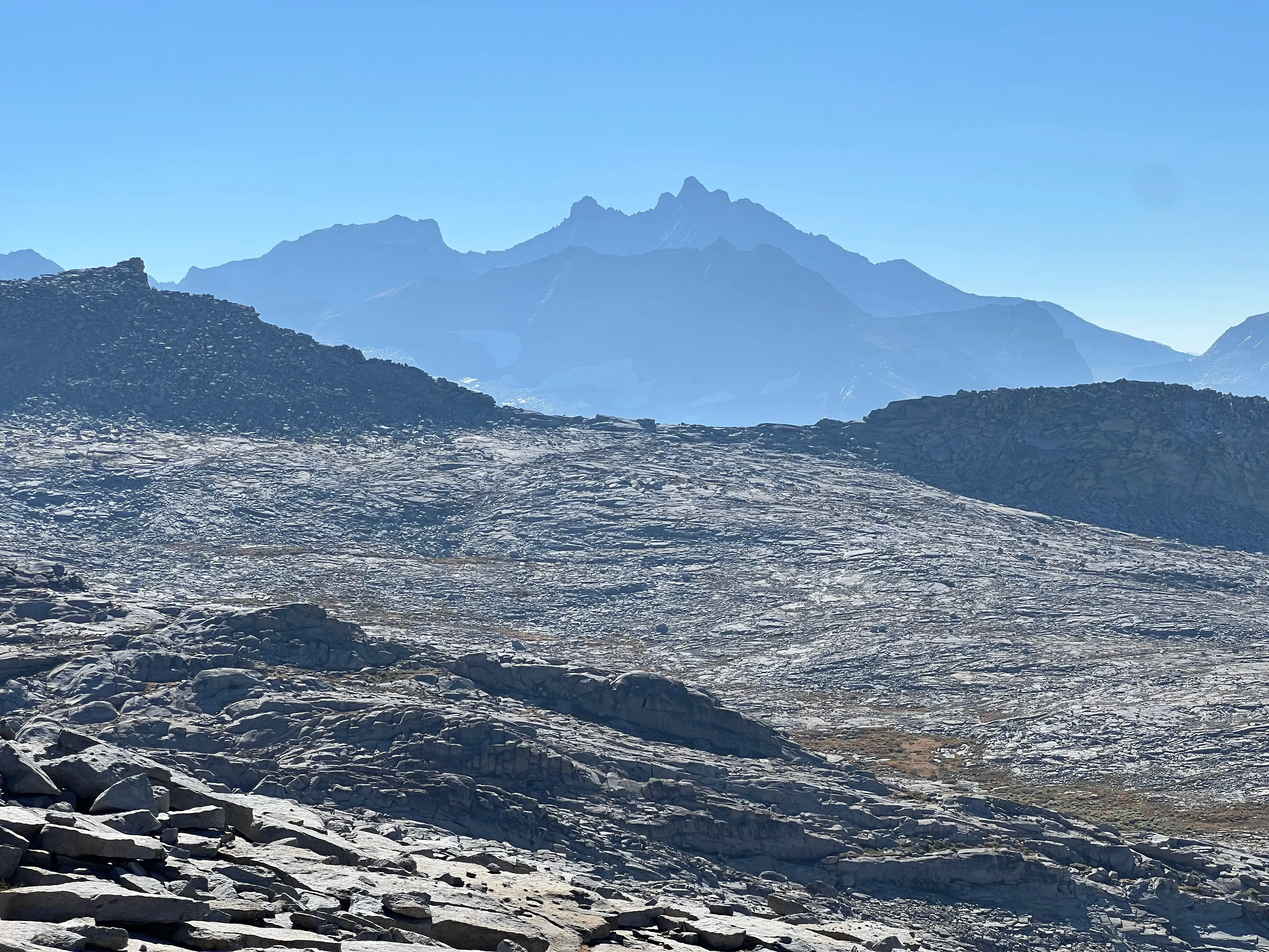
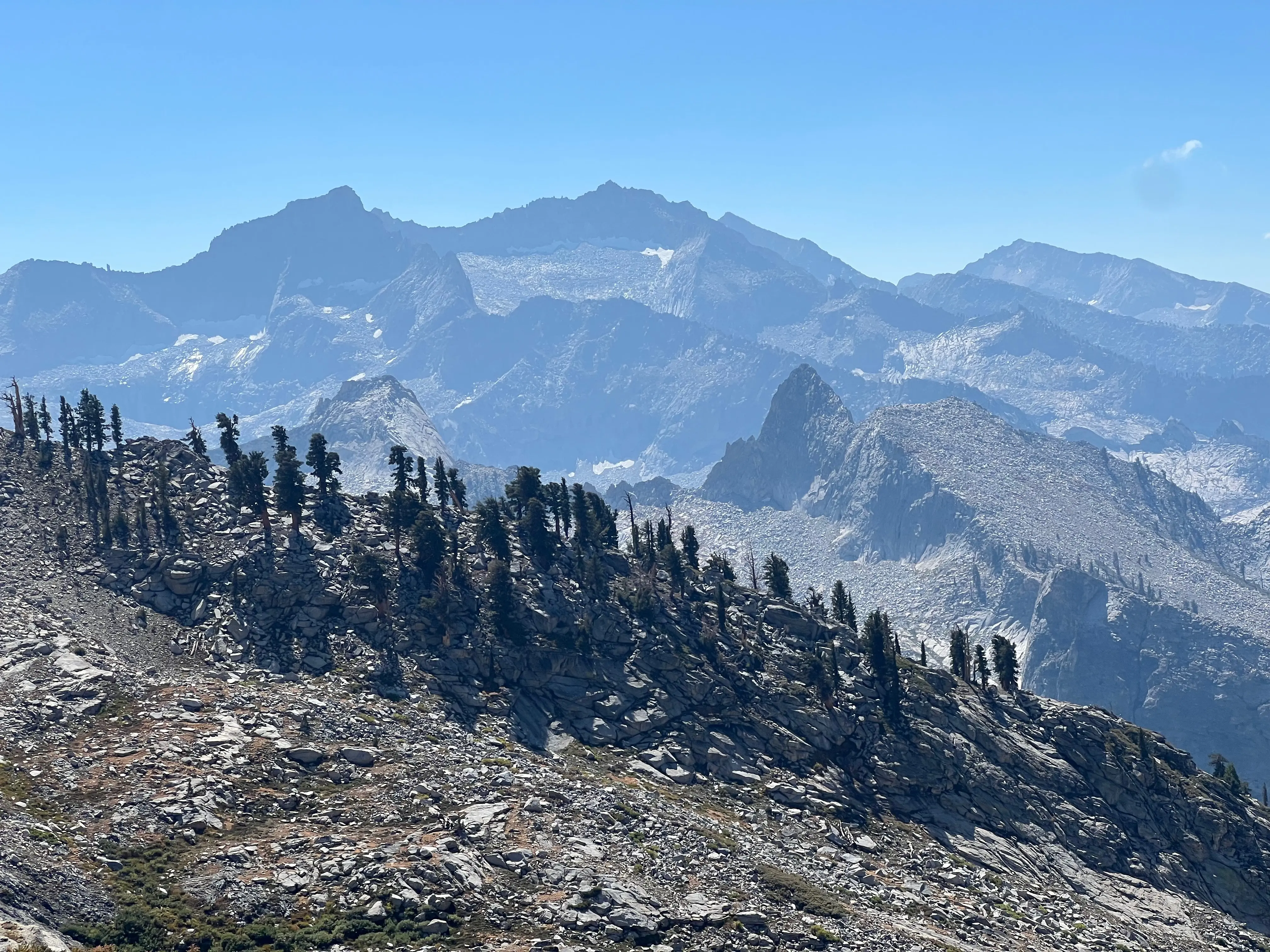
I was a little worried about Pterodactyl Pass since I hadn't read too much detail about the route. Once I was on it though it was pretty obvious. I stayed high and got to the saddle around 10:30, easy peasy. The views of the surrounding area were breathtaking! Looking down Buck Creek and seeing Timber Gap in the distance was absolutely beautiful. Mt Stewart and the Lilliput Glacier were stunning. The Kaweahs were standing strong and prominent in the background, commanding attention. The relief created by the different layers of rock and mountain made it feel like I was higher than the 11,000ft of the pass! From here I could see two options, Horn Col or down and up the Big SEKI Loop over Elizabeth Pass. I hadn't read whether Horn Col was doable and looking at the glaciated slick granite, decided against it. In hindsight I wish I had given it a shot since it now seems doable from what I've read. But traveling solo as I age has made me a little more cautious without proper preparation.
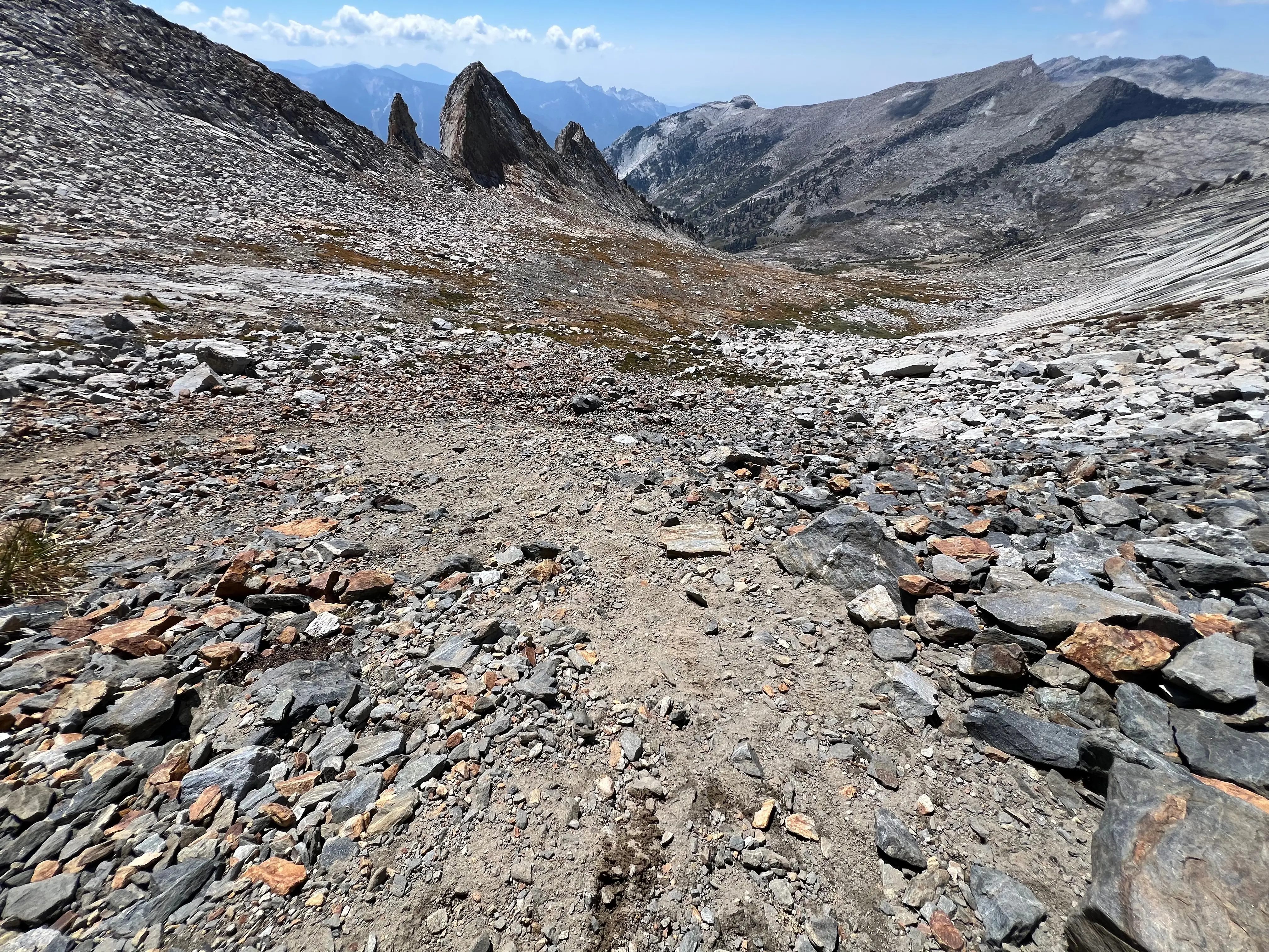
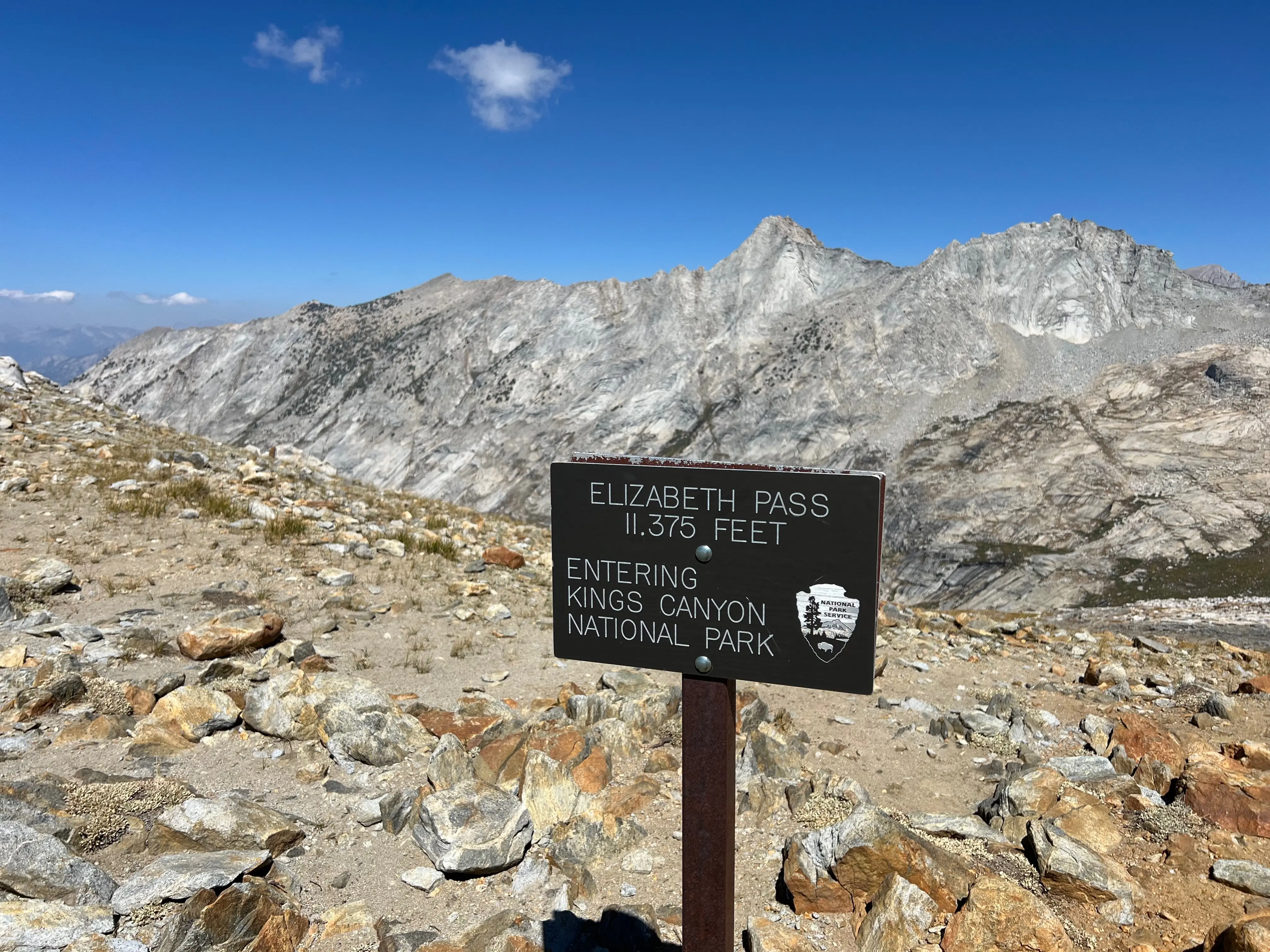
Again I highly encourage anyone to take a look at Horn Col instead of doing what I did. I tried to cut across Buck Creek and join up with the Big SEKI Loop trail, but I got cliffed out by steep, slick, granite and had to backtrack and descend. This added miles and elevation I seriously regretted. When I finally synced up with the trail, I was close to where it crossed Buck Creek down at 9,400ft. And Elizabeth Pass is at 11,375ft. Very rough, hard day.
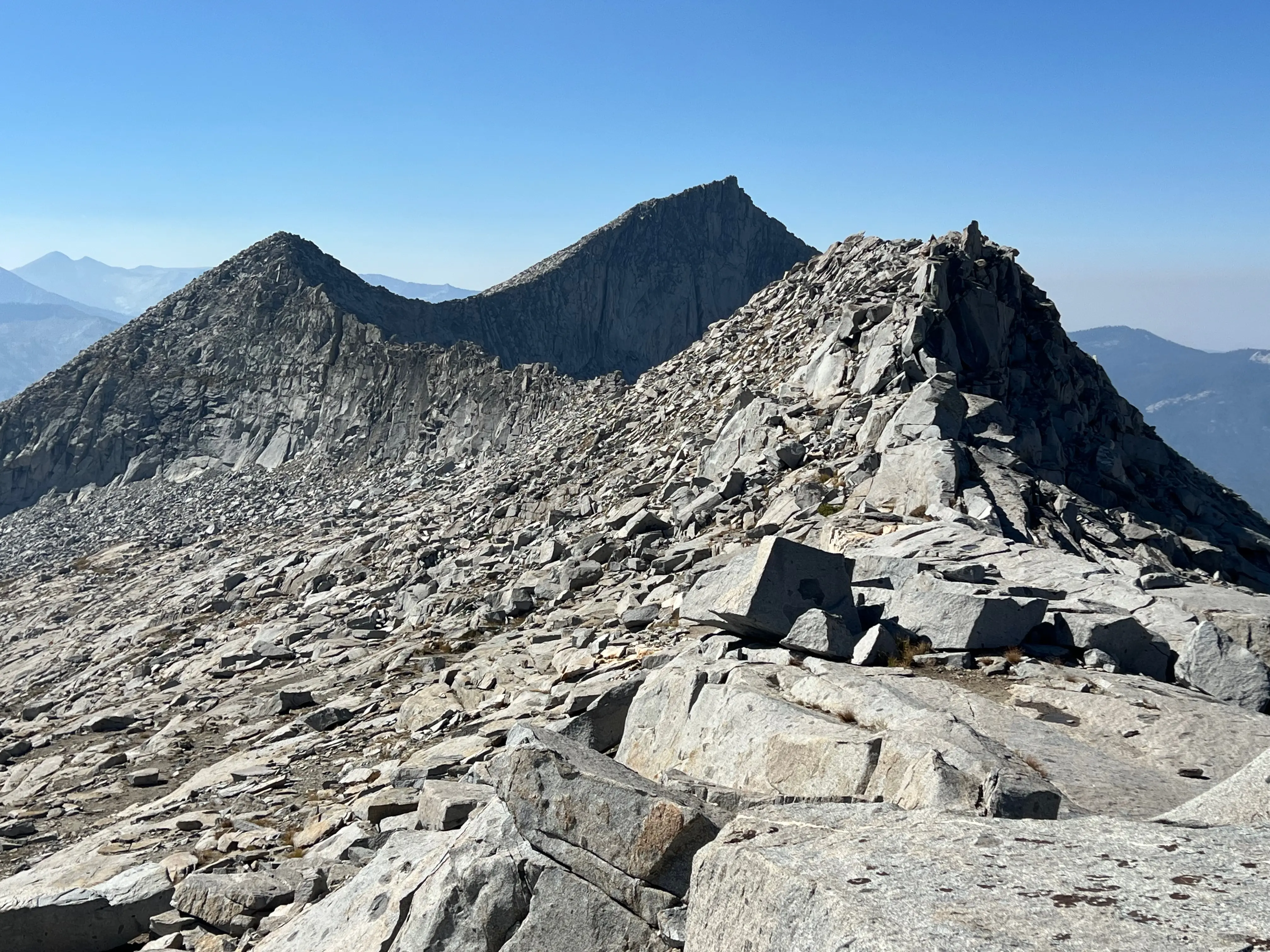
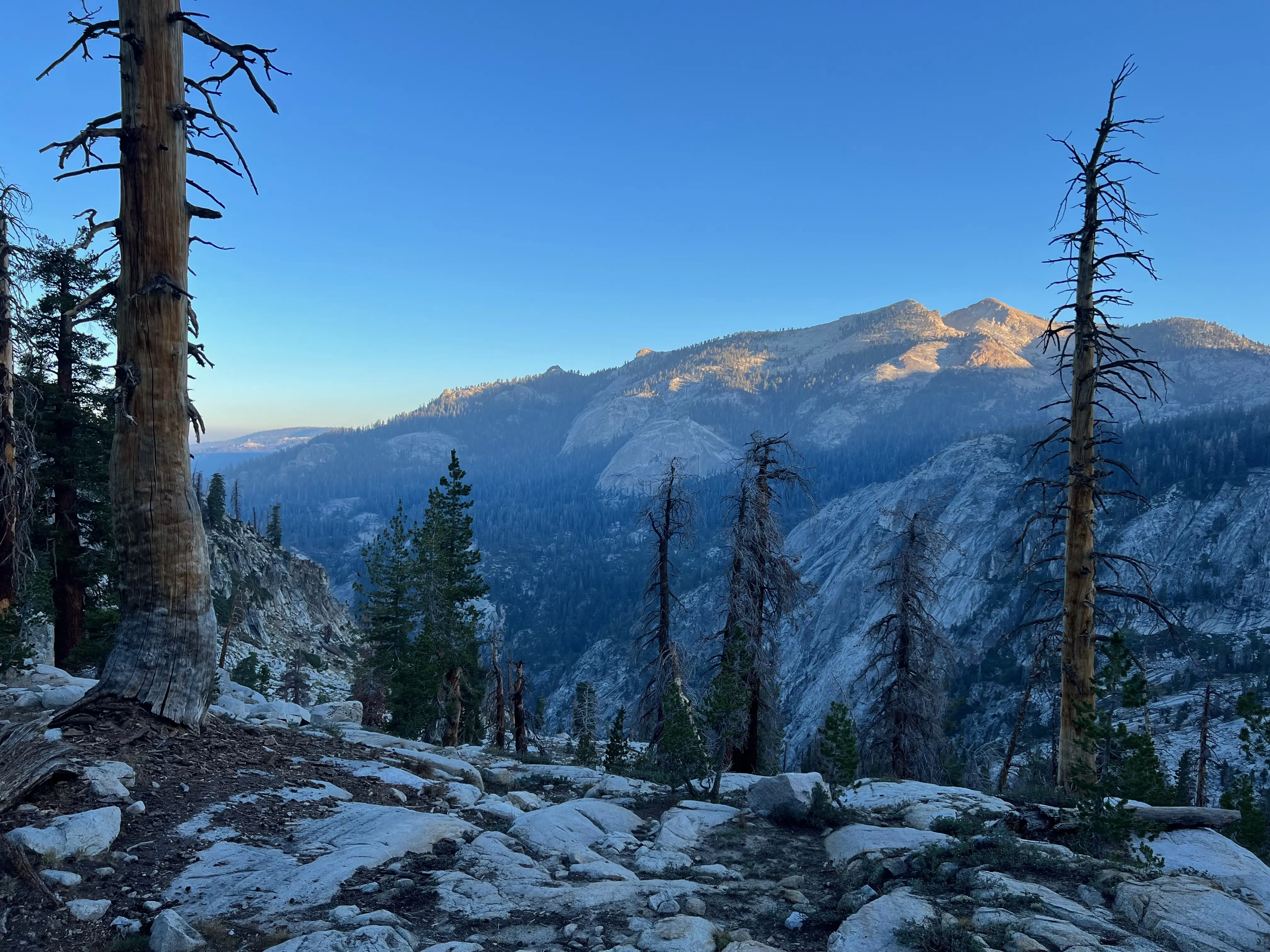
I thought at least the trail would be nice and straight forward, possibly well maintained, but no! The South side of Elizabeth Pass is kind of a wreck. There are some scattered trail ducks, but it's basically trailless and pick your own adventure until the very top. The view from the top is well worth the effort though. Absolutely amazing to get a glimpse of Glacier Ridge, Deadman Canyon, Coppermine Peak, Horn col and such a beautifully clear day. Couldn't have asked for better weather. I took a break at the top and awwed at my surroundings.
After taking a nice long break at the top of Elizabeth Pass, I debated being able to make it to Bird Bird Lake but decided with all the up and down, Ranger Meadow will be my next camp. Hiking from Elizabeth Pass at 11,375ft to Ranger Meadow at 8,900ft will be murder on my feet. But the views and memories will keep my laughing!
I met one group of hikers doing the Big SEKI loop while coming down Elizabeth Pass. We chatted and had the typical where you coming from, where you going from talk. They recommended a camp site in Ranger Meadow where I was going. When I got down I saw a map on the trail. I really hope they didn't lose it!
Map I found on the trail.
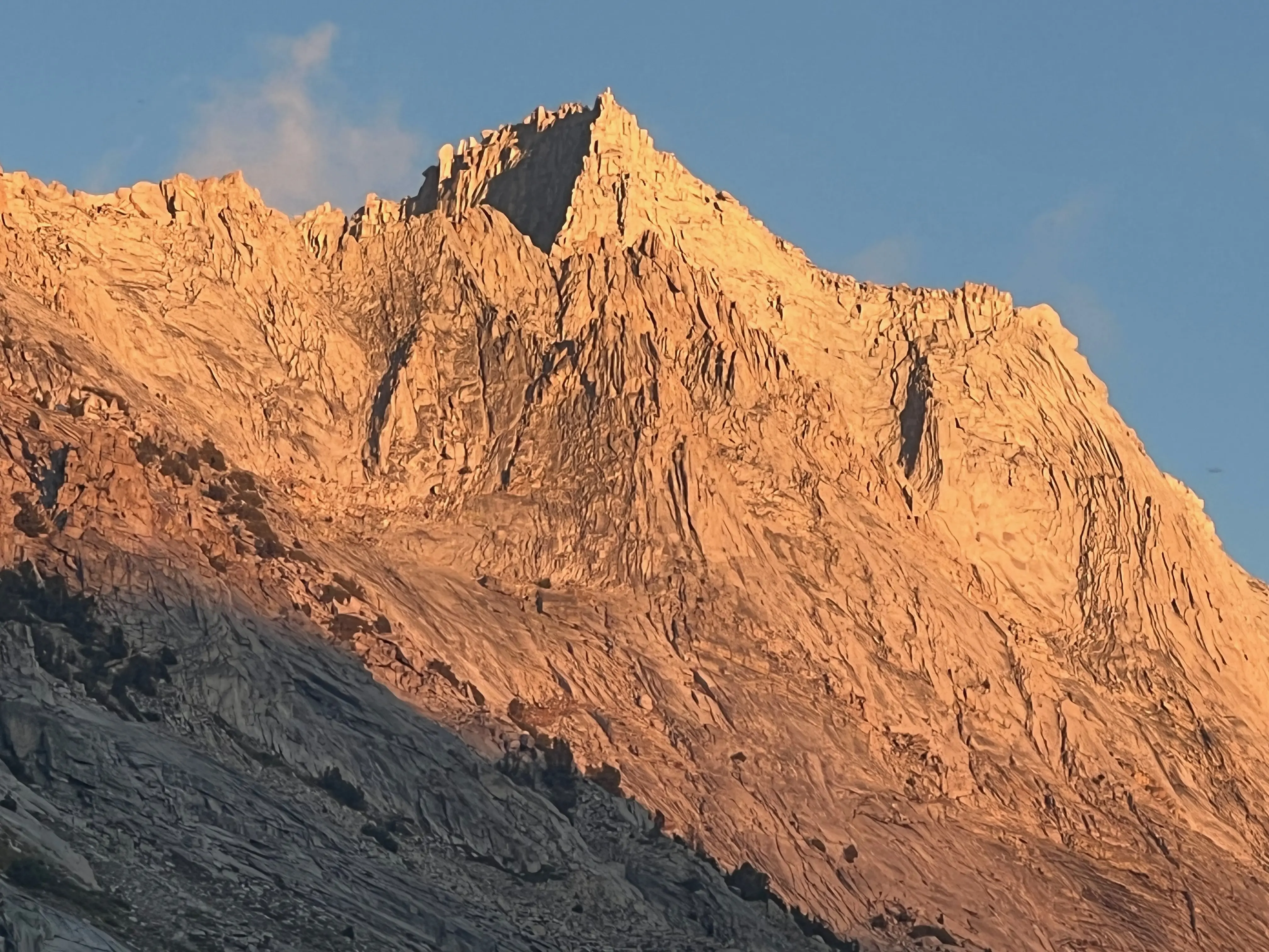
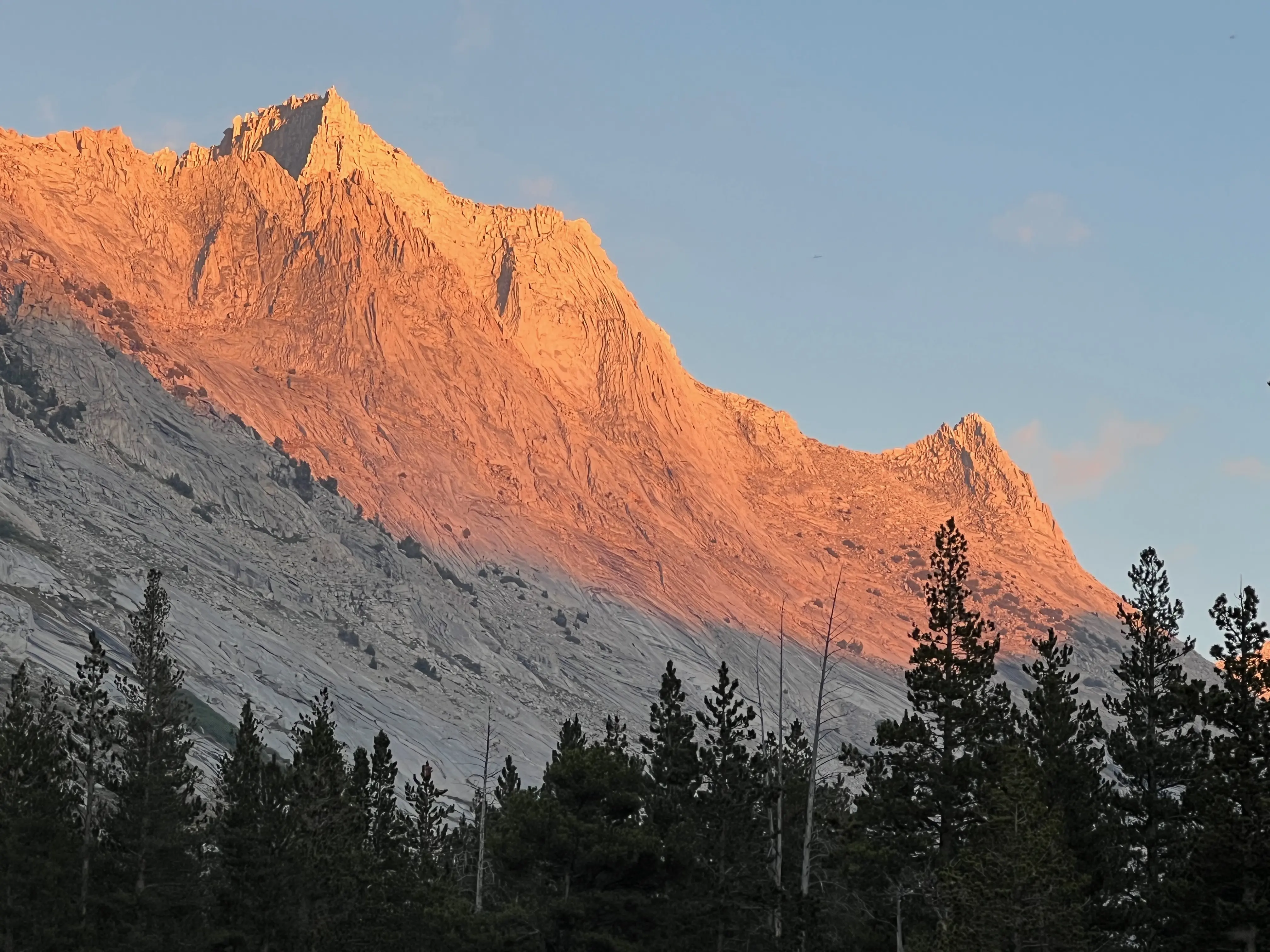
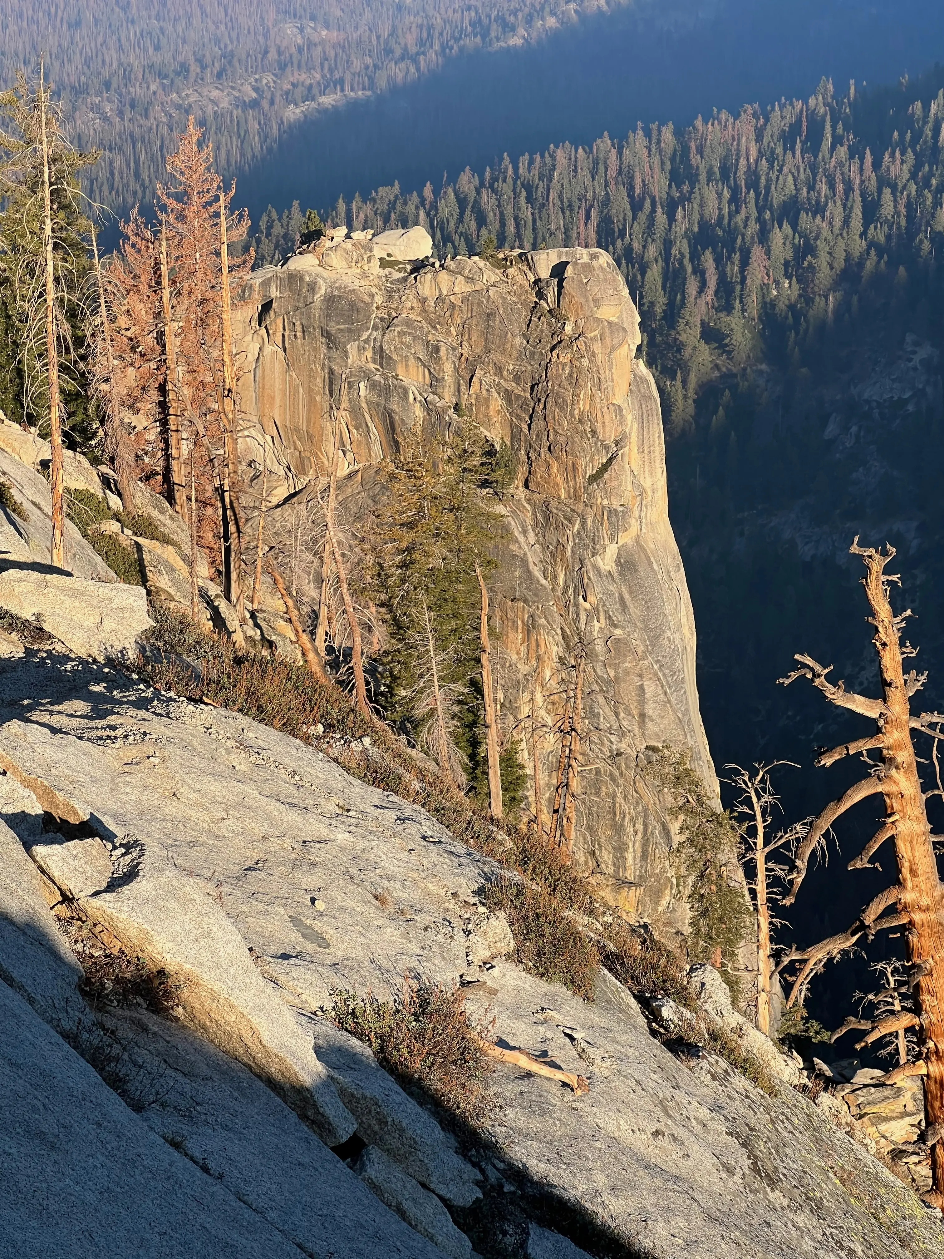
I was tuckered out on day two. Ready for a big sleep! Took some nice pics of the alpenglow on the canyon wall and conked out. I hiked 13 miles with 30lbs over two passes with much elevation and route finding. Luckily I had Chicken Fajita Mountain House meal and tortillas! If only I didn't forget the dang Tapatio! Before passing out I saw some amazing shooting stars while sleeping out untented.
Day 2
Forgot about dew.
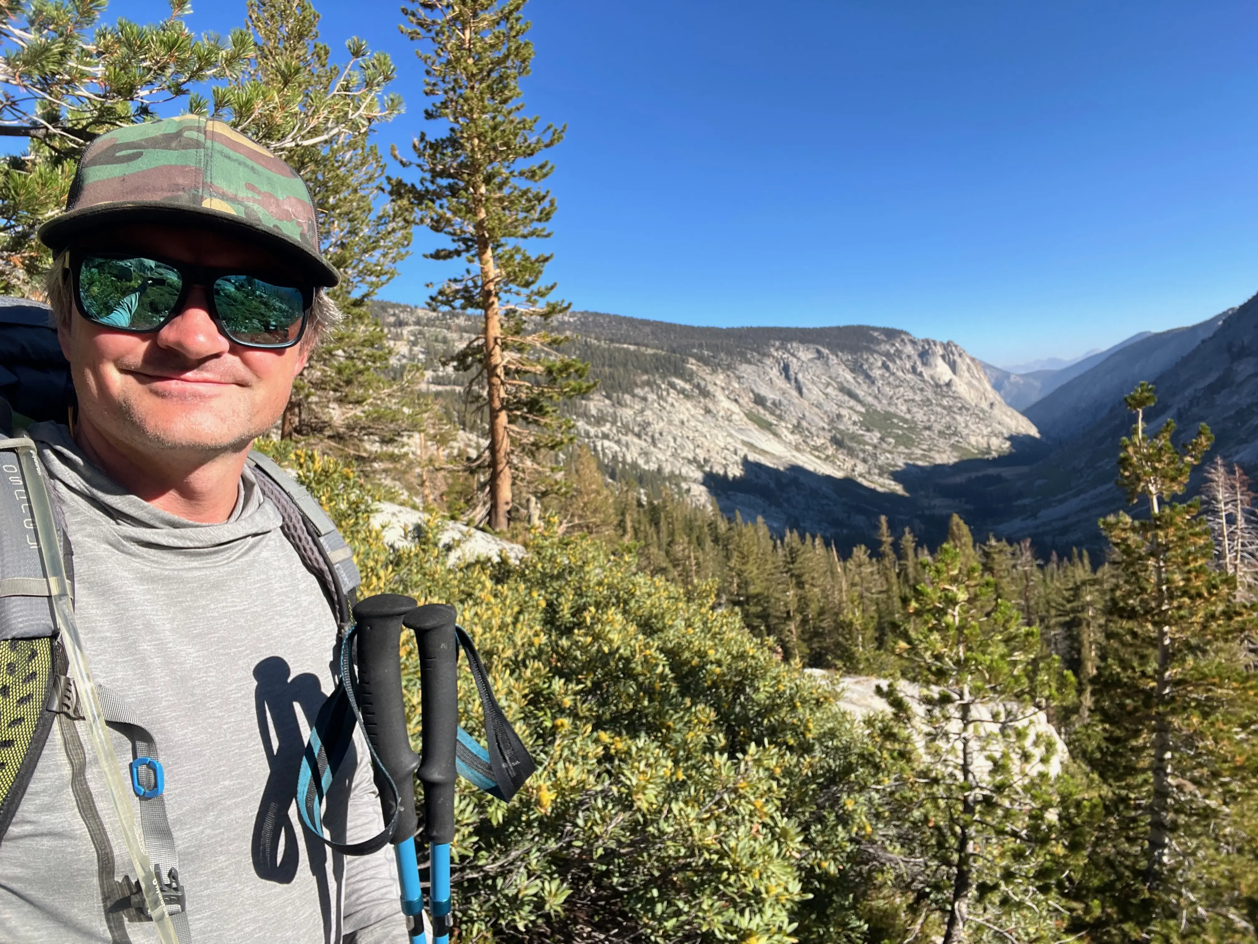
I awoke on the third day covered in dew. Been awhile since I slept untented and I forgot how much dew can form. It had no affect on my temperature. My bag kept me toasty but touching the moisture at night and knowing the moisture is condensing is off putting. I never get a perfect sleep anyway. Even with the thermarest neoair xlite pad, very comfy, still not great sleep. Not a fault of the pad though. Sleeping alone in a remote canyon can be a little eerie. It's haunting and exotic in a good way too. I really enjoy solo backpacking, I think it's really interesting to detach from technology and be fully present with only you.
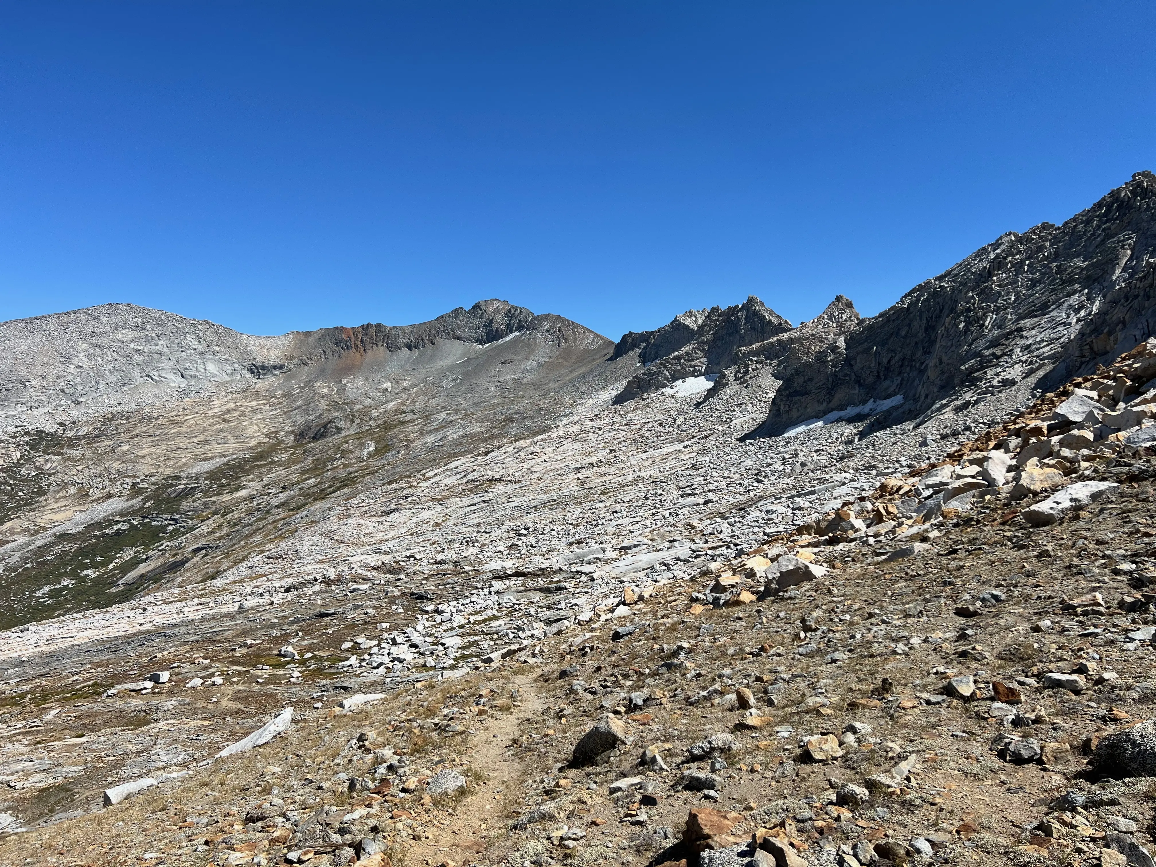
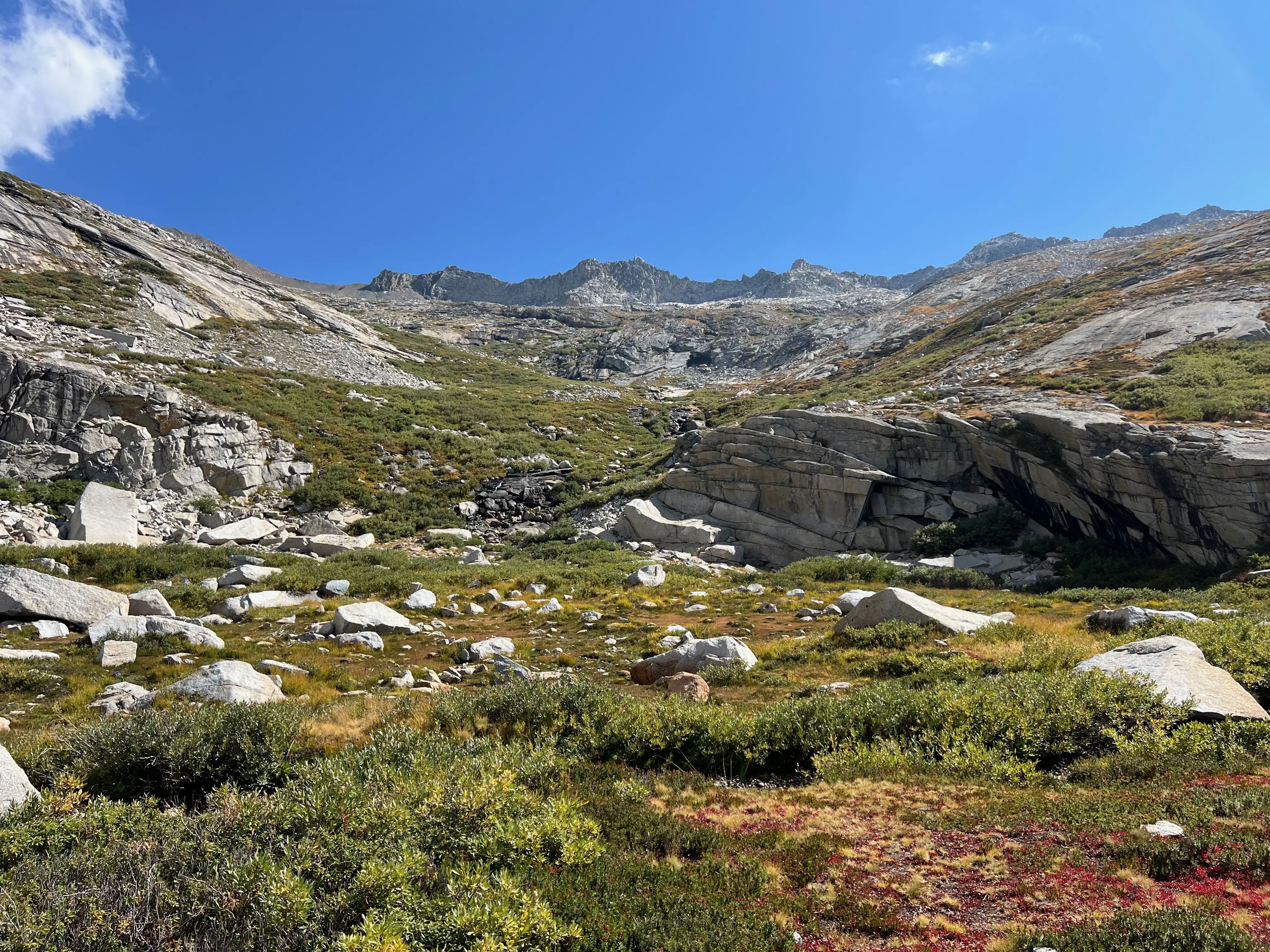
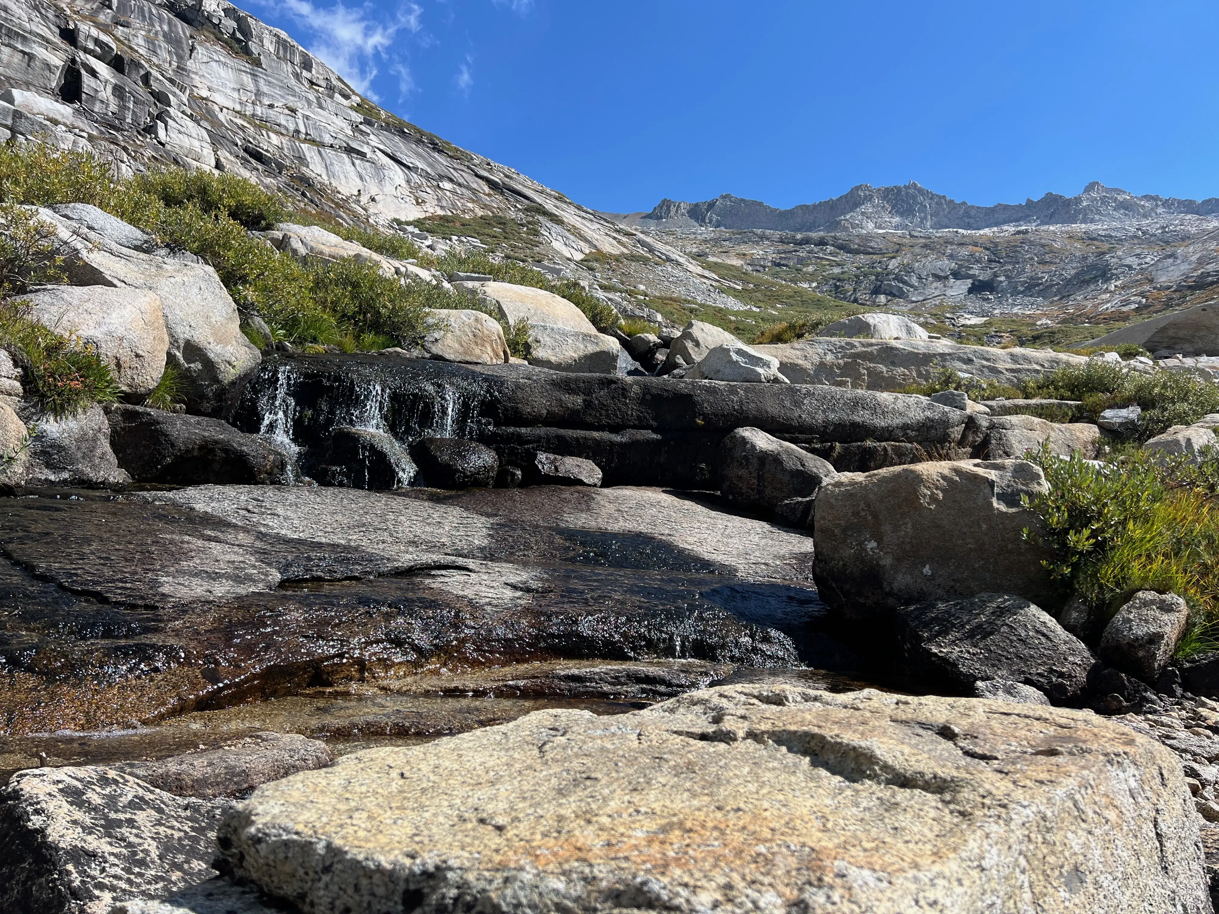
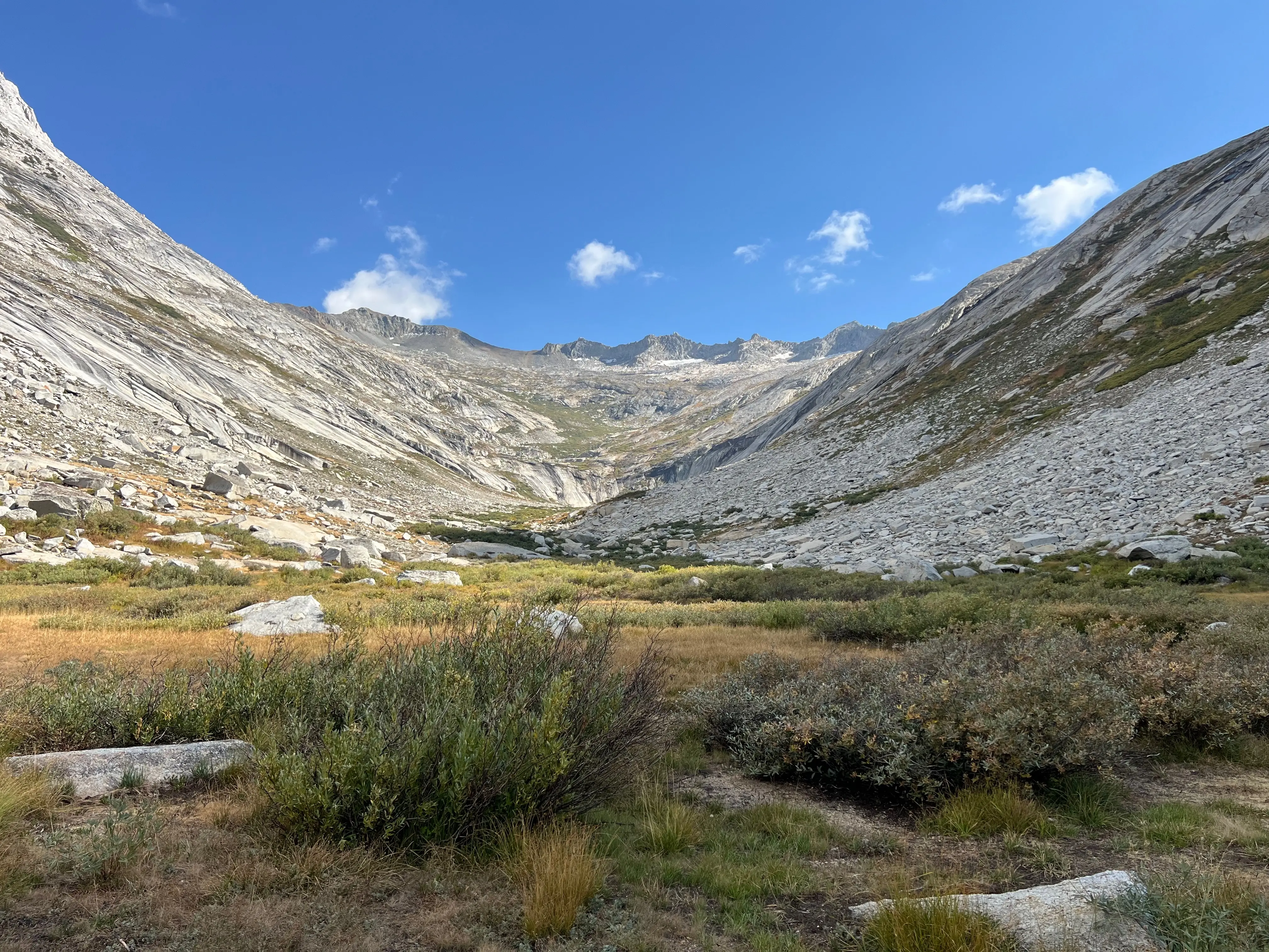
This day was going to be a little tough. My plan was to hike up the South side of the Big Bird Lake outlet stream then around the lake and up the chain of lakes that ran along the western side of the lake. From the topo it looks super doable. And maybe it is. But after getting maybe a quarter way around Big Bird I know the North West side to the saddle would be WAY easier.
There is actually a pretty well established route from Ranger Meadow to Big Bird Lake. I found the trail ducks after not too much bushwhacking. You can stay south of the outlet and head to the crease of the prominence that juts out from Big Bird. The route from the saddle between Big Bird and the lakes north of Tablelands was granite filled and talusy. Not as easy to find a route and definitely required some bouldering. I think if I had stayed lower and went South from the saddle it would have been much easier!
I made it to the saddle between Big Bird and the lakes North of Tablelands by 10:30. Super not pleasant climbing over boulders, not knowing if I was on the right track. But I couldn't deny the feeling of excitement and freedom. Seeing parts of the world few dare to traverse. Or are stupid enough not to have a GPS getting lost on unknown routes! Happy accidents.
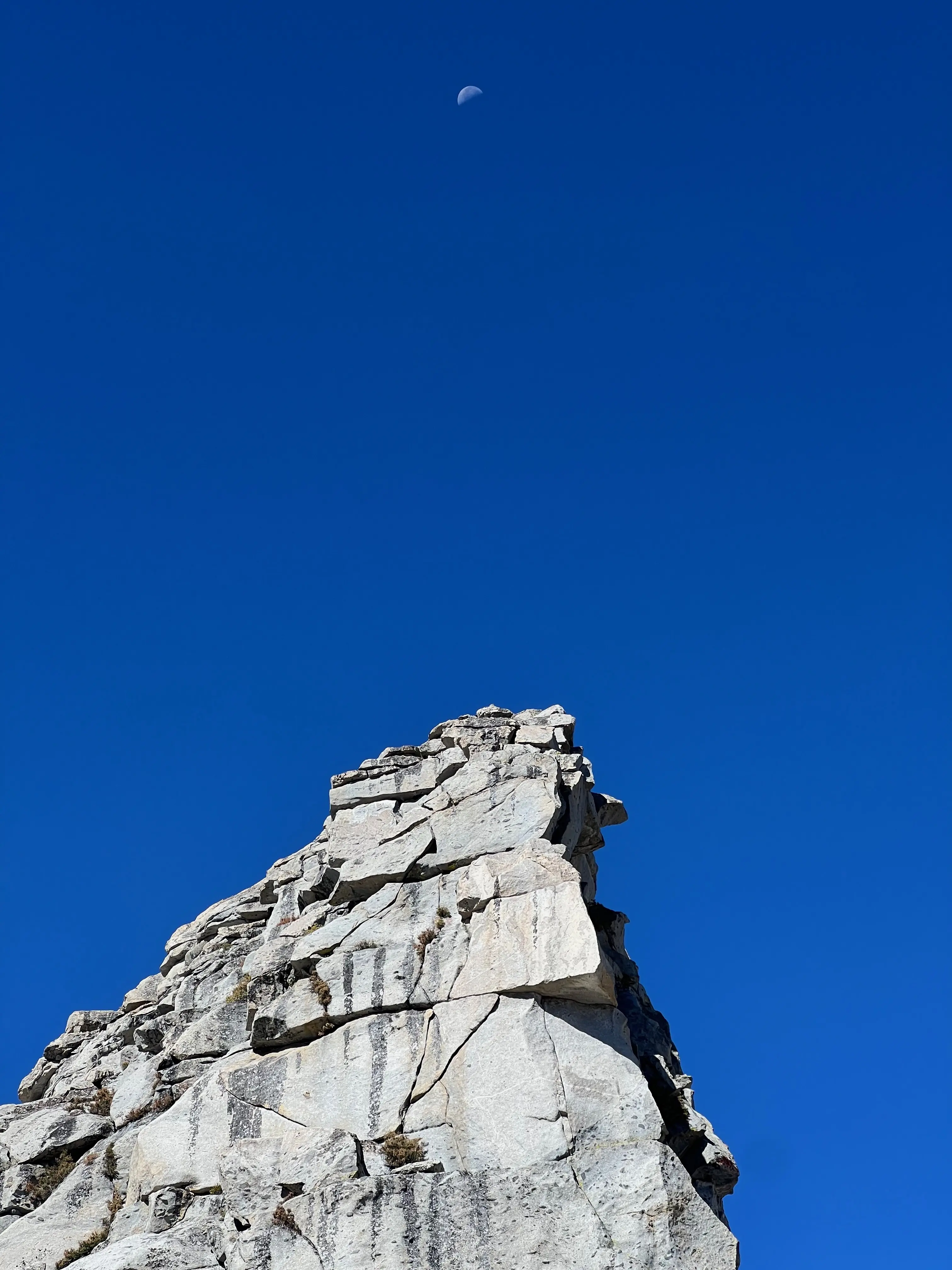
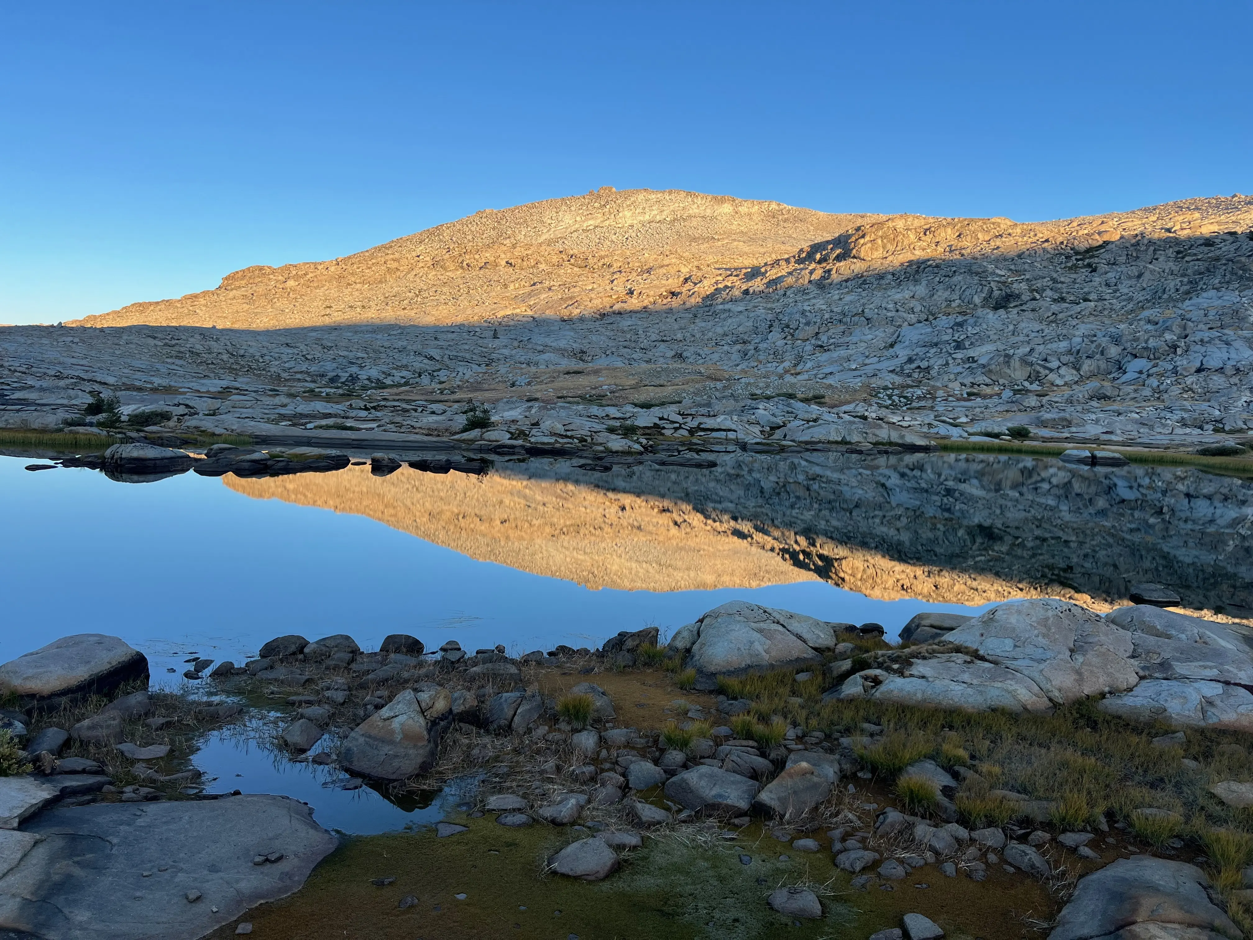
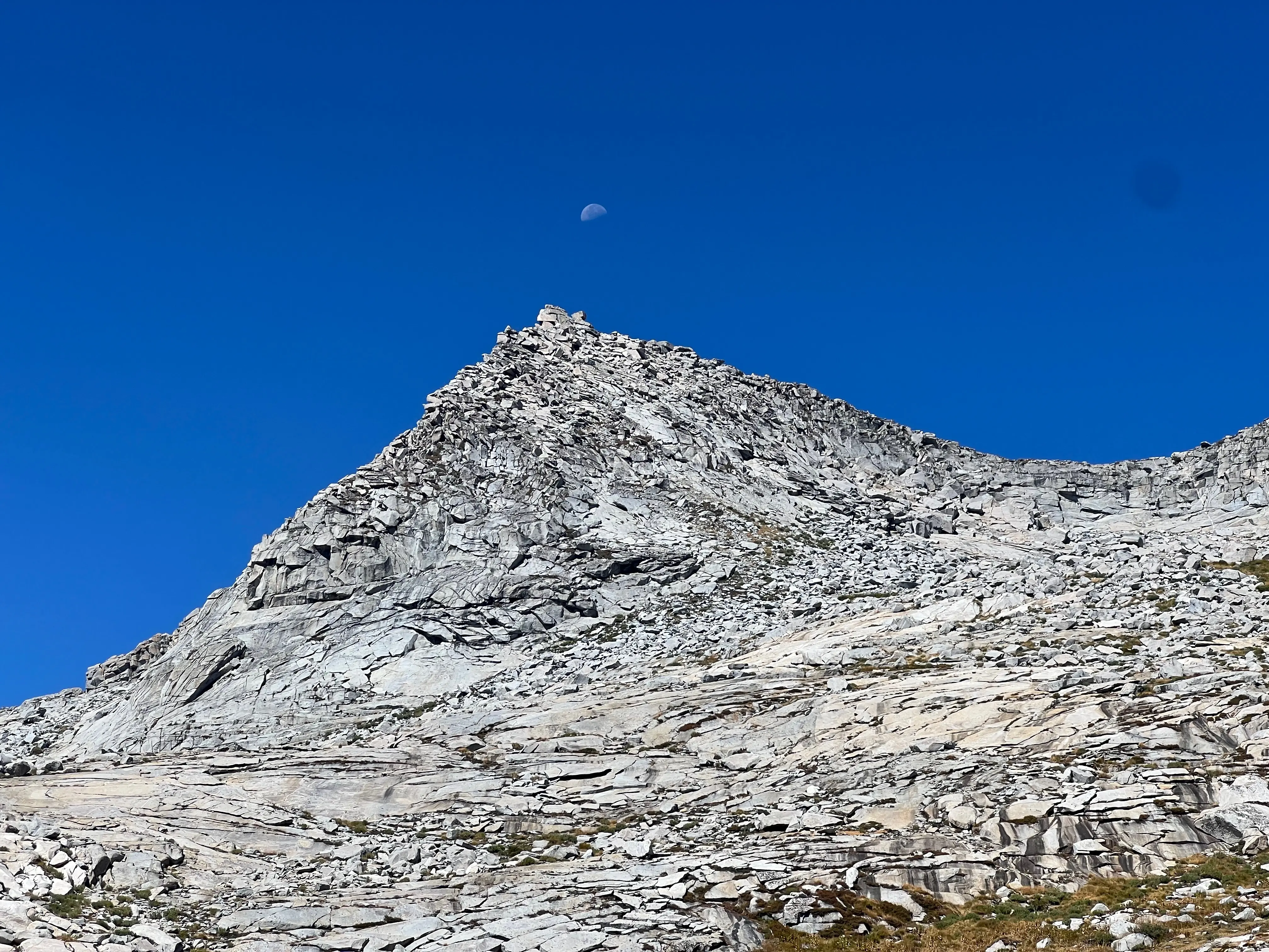
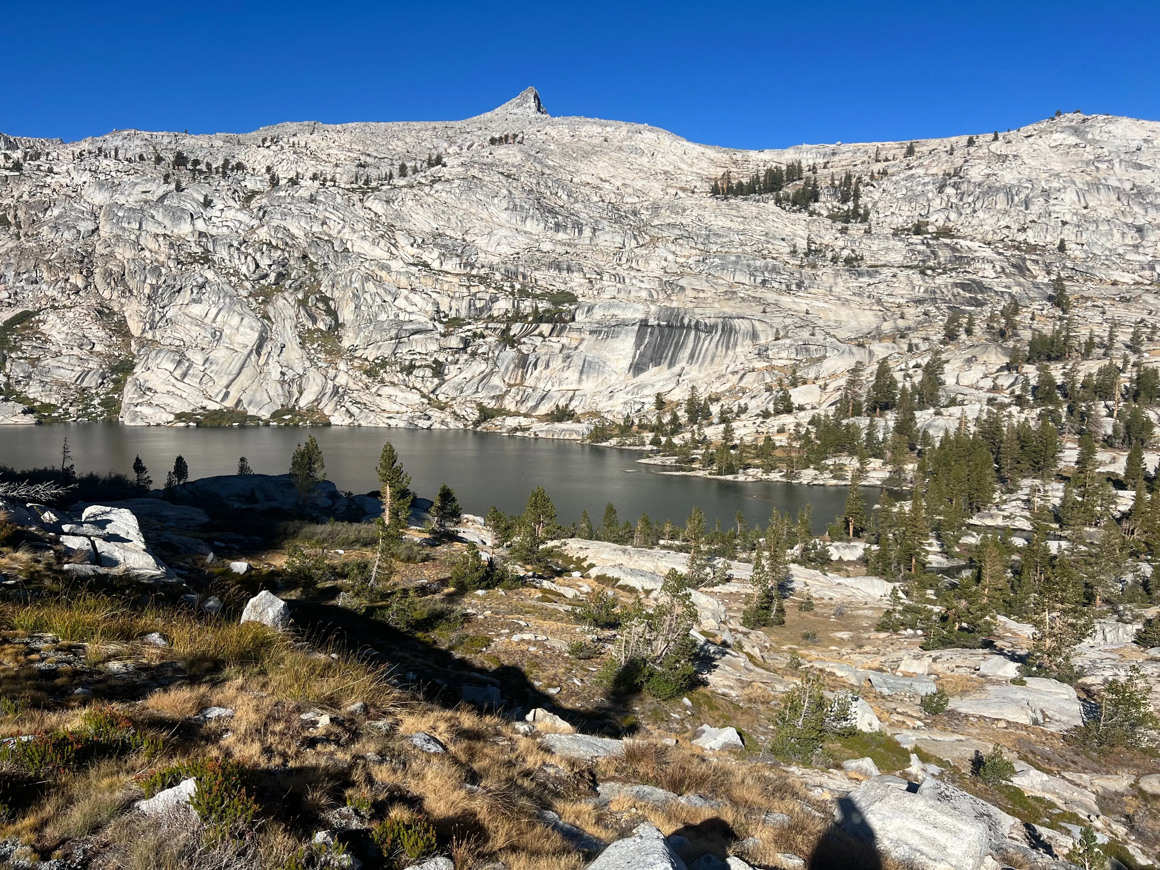
Tablelands high point. 11,200ft with moon.
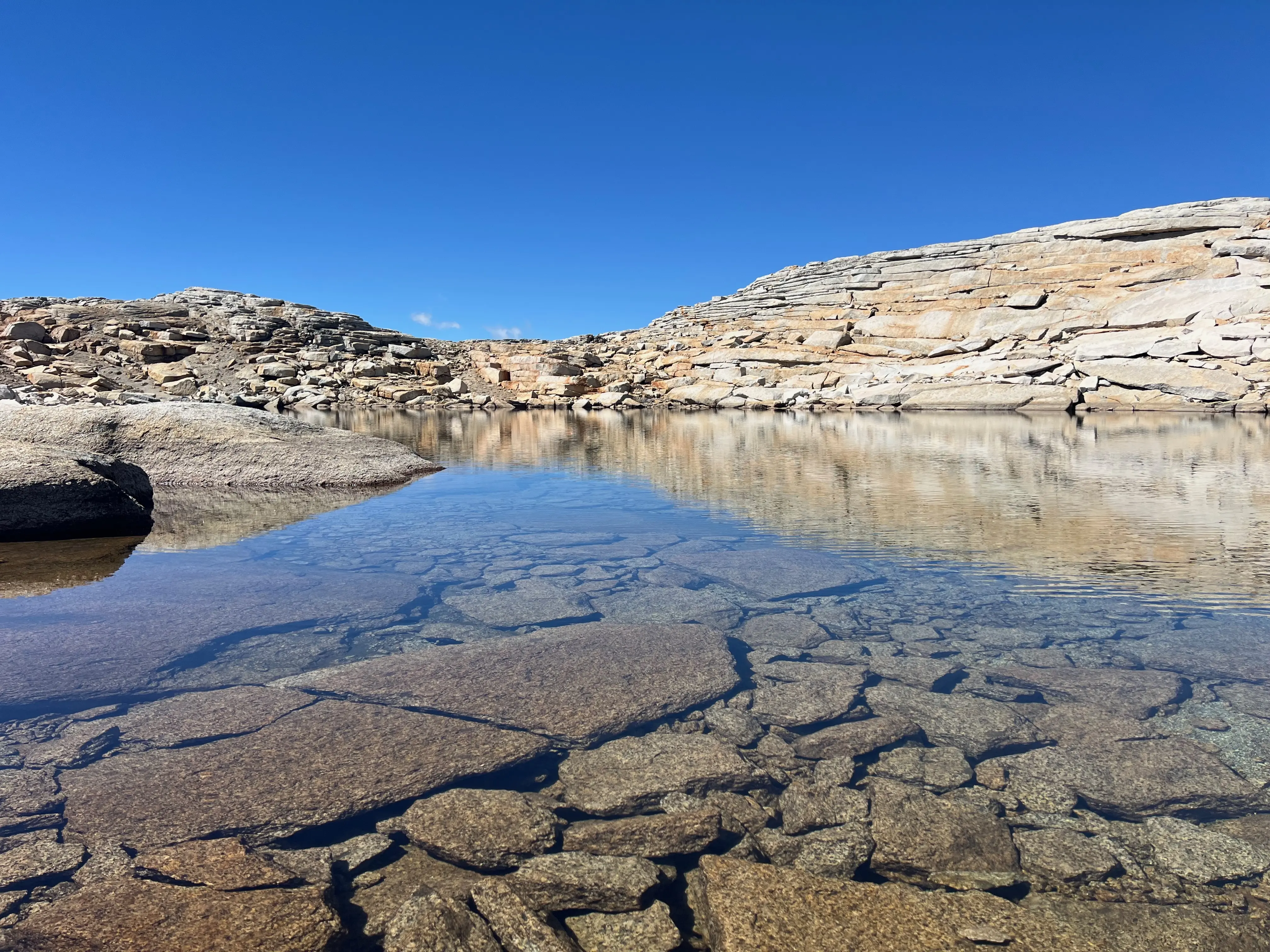
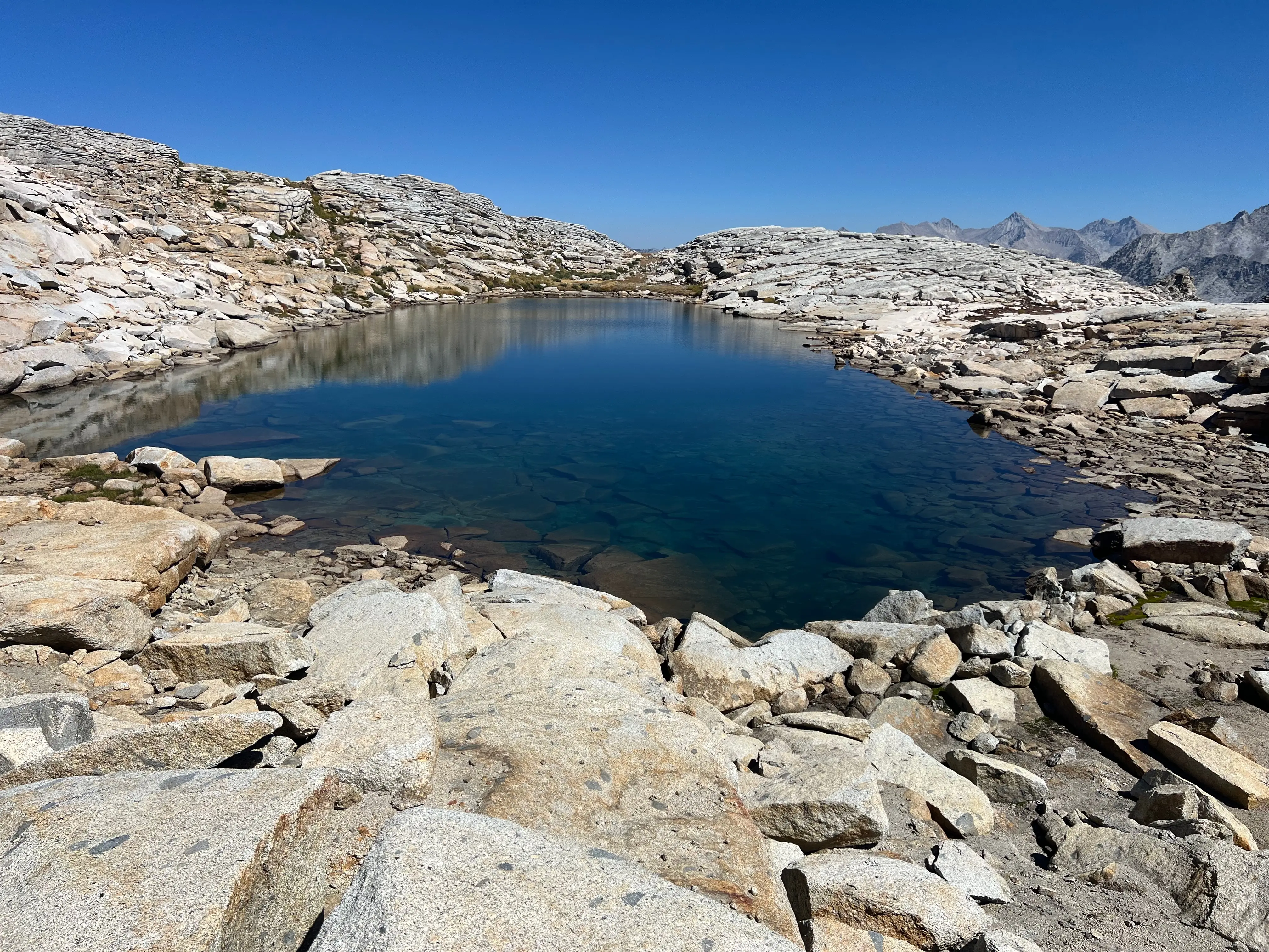
So relieved to see my beloved pumped up destination! Mutha fuckin' Phil Arnot Pond! I was so ecstatic. It's hard to describe. I set out with a plan, it got foiled, I figured out something new on the fly and successfully circumnavigated the Tablelands without guidance. It was fun. It was exciting. I made it.
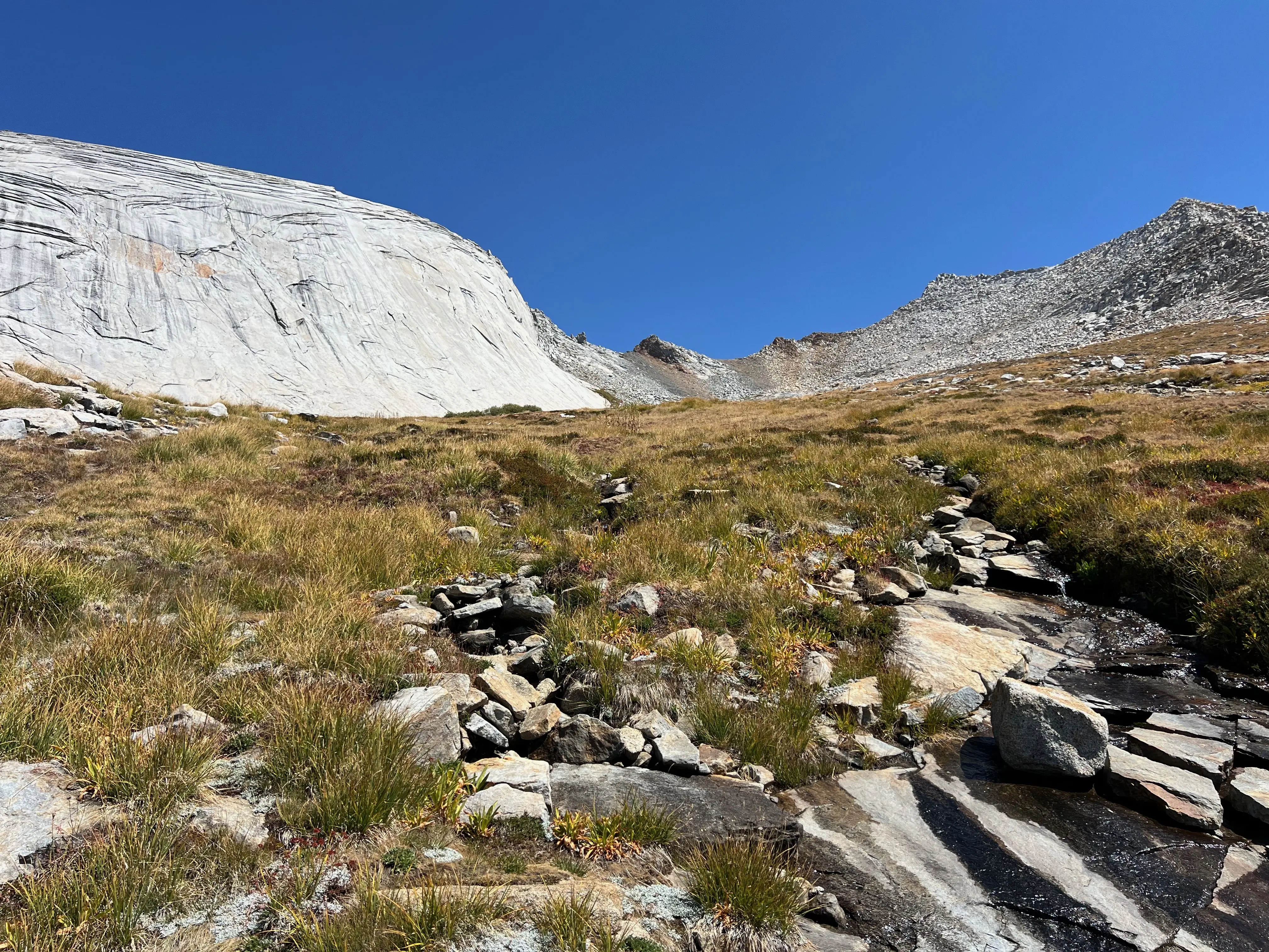
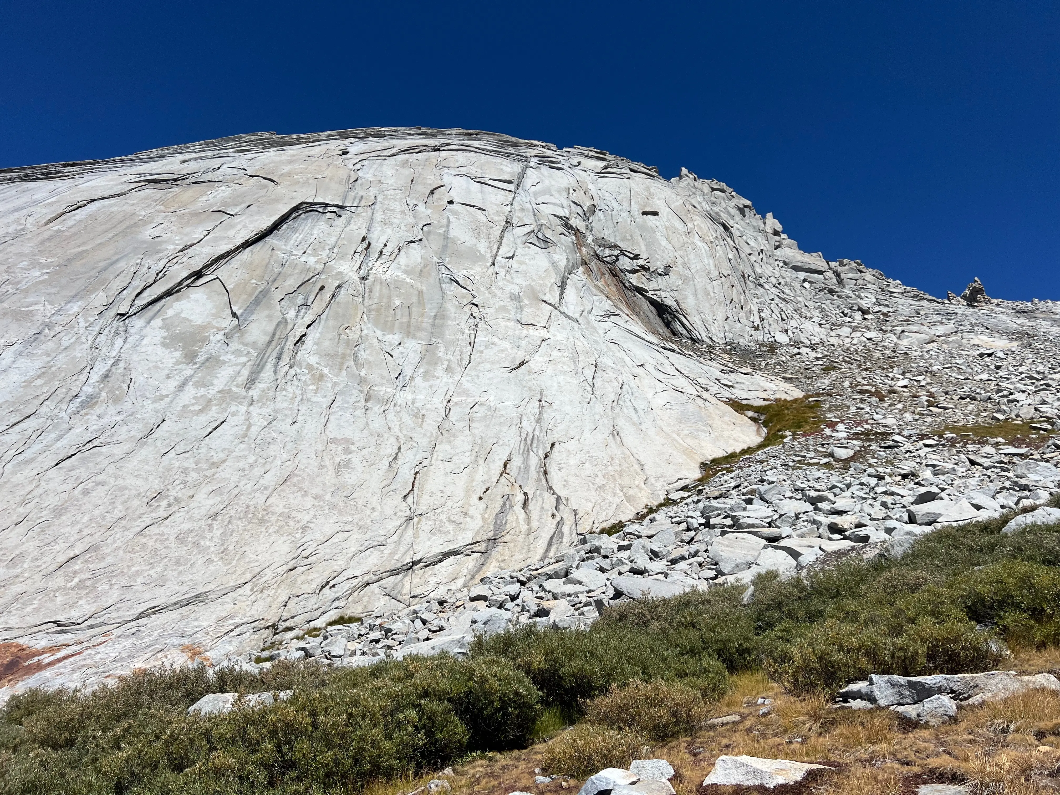
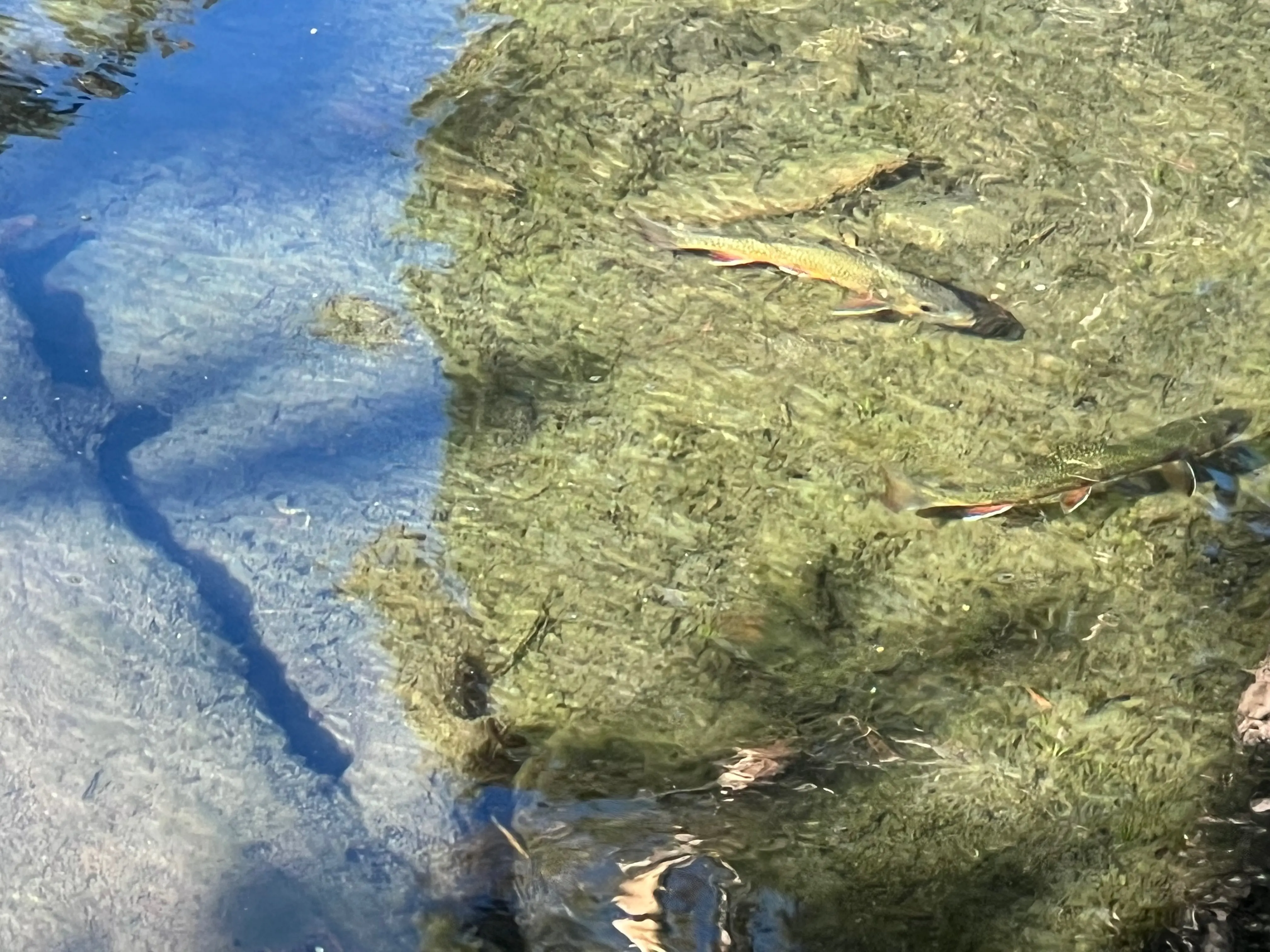
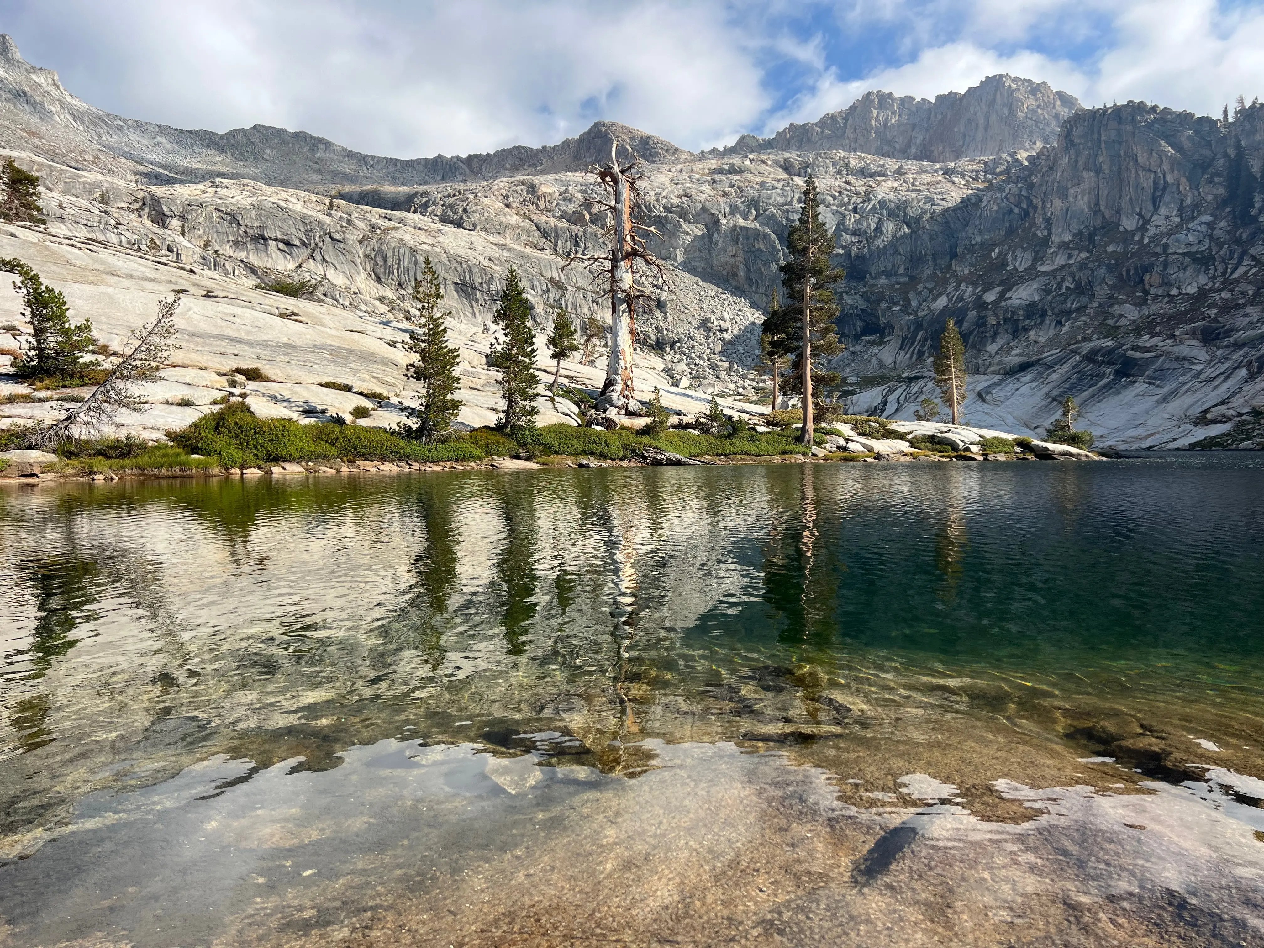
Phil Arnot Pond is not particularly large or deep, but it's at the precipice of the Tablelands. At just about 11,240ft it's the highest Tablelands pond. It would be excellent to camp at, but alas it was only 11:11 when I arrived. The views of the surrounding area are unmatched. The water was so clear and blue it looked out of this world. But it was real, I could touch it and bask in it's glory. I nearly got naked and took a swim but I had more miles to go. I wish I could spend more time enjoying such primal pleasure.
Back through Tablelands I went. More straightforward this time. No dilly dallying. I made for the small meadow just before Pear Lake since my wilderness permit did not allow camping at Pear Lake. However! I did meet a kind ranger who said that if there were no people at Pear Lake I could feel free to stay there. And by golly I dropped my pack. Walked all the way to Pear Lake OFF TRAIL and confirmed that yes no one was set up for the night. So I hiked back to the little meadow, grabbed my pack and camped at Pear Lake. Where I did swim nakey because it was all to myself. Not a soul remained on this glorious Sunday. I basked in the late afternoon sun and enjoyed the warmth as nature intended. It was amazing!
Good night Pear Lake.
Day 3
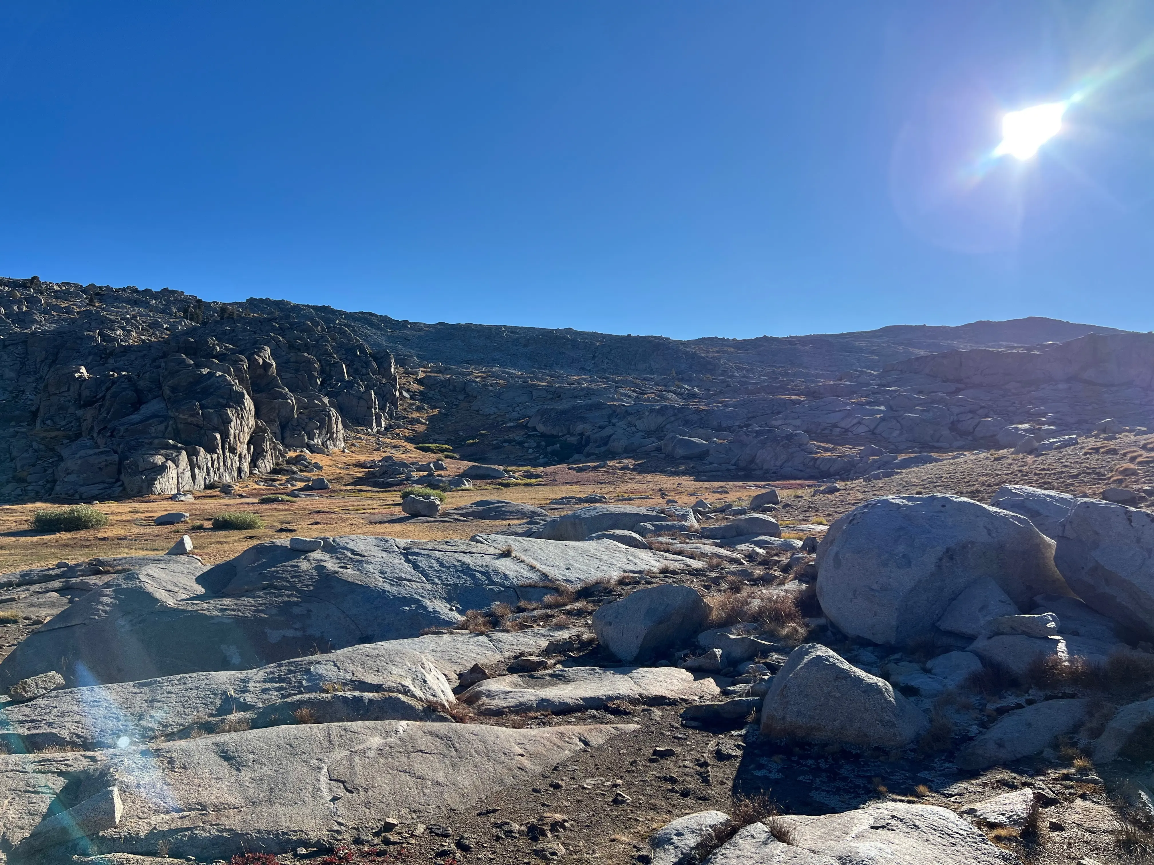
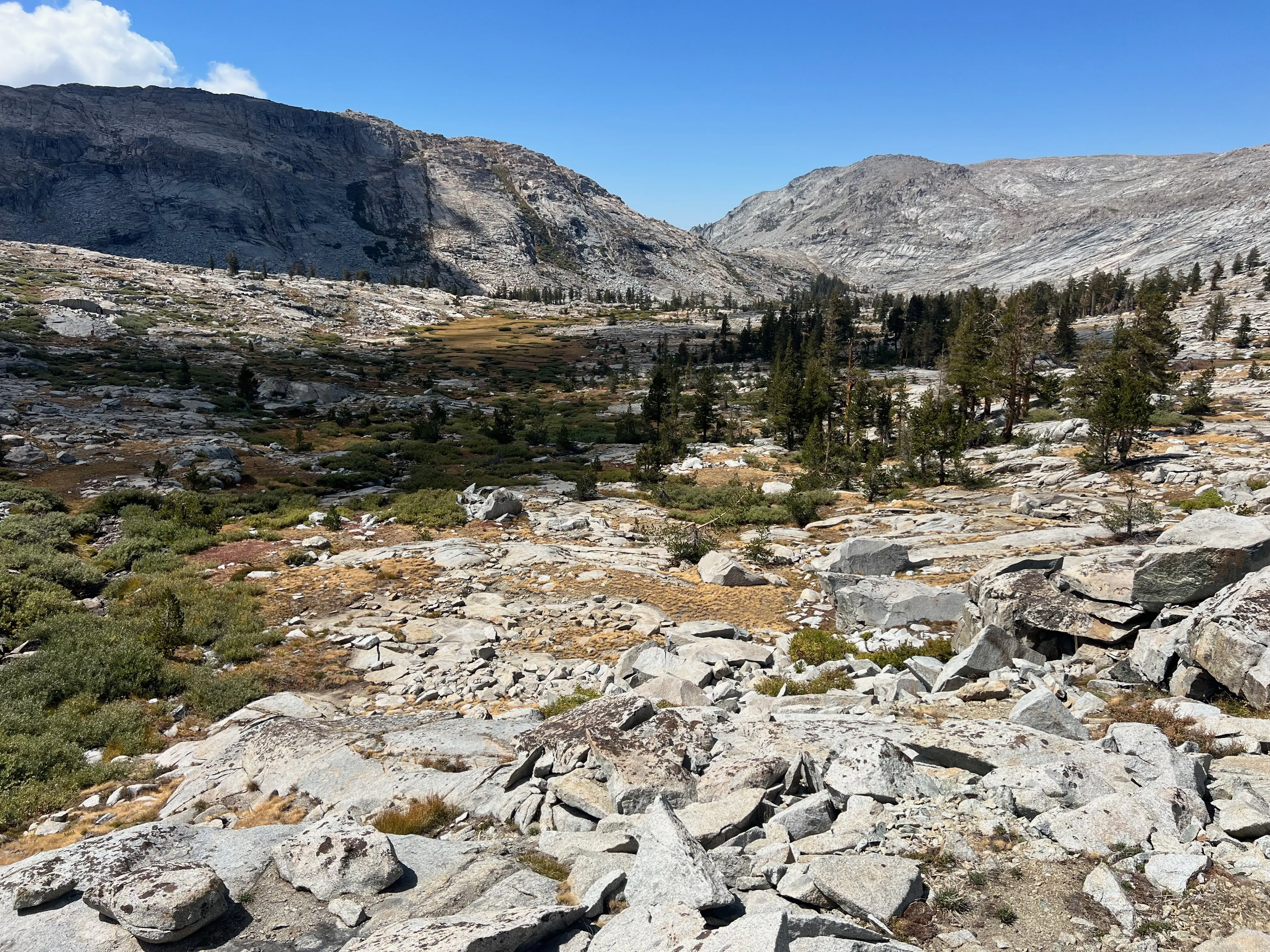
Fourth day, I woke up at 5:00. Stuffed my wet dewy stuff in my bag. Ate a protein bar, mixed a Celsius energy drink and I was off! Being alone for four days made me want the comfort of home all the more. I basically ran home. Hiking down the Alta Lakes trail in the clear morning is absolutely stunning though and I snapped a few pics.
Can't wait for the next one, later!
Crepuscular rays.